|
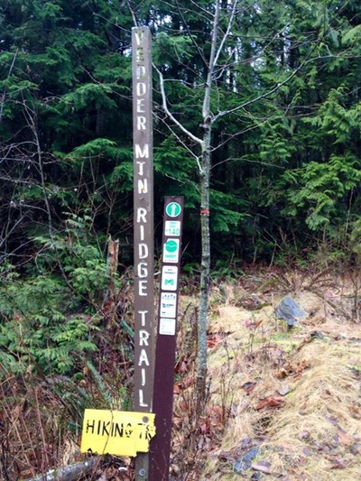
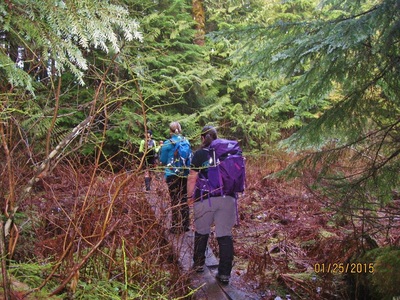
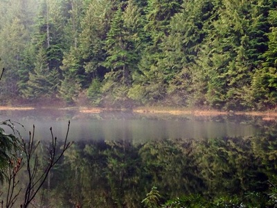
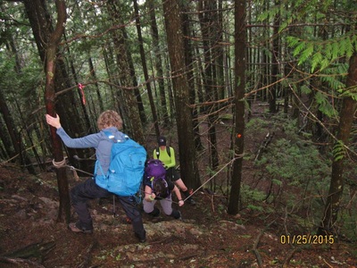
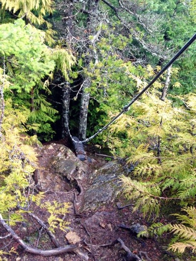
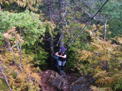
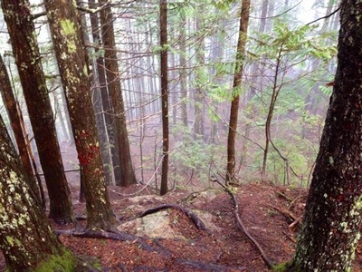
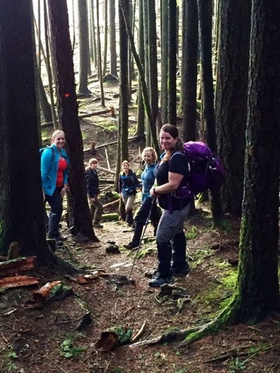
Before you can start this trail you’ll need to get to up the FSR. Yes it can be hiked but be prepared to add an extra 3 km’s one way. Directions: From Highway #1 take Exit #119 south. Follow Vedder Road for 5 km through Sardis, eventually reaching a three way stop sign immediately before the bridge. Continue straight over the bridge, soon after reaching a traffic light. Turn left at the lights, heading uphill on Cultus Lake Road. Continue for a little over 2 km before turning right onto Parmenter Road. On Parmenter Road, continue past the the gravel pit to the end of the pavement. Keep to the right as the road changes to gravel, continuing uphill for approximately 600 meters to the next fork in the road. If you have a car, park here. Put your vehicle into four wheel drive - the road from this point on is extremely rough. Expect 20 culverts to go up and over. Going back down seemed worse then coming up. Continue uphill for 2.9 km, watching for other off road vehicles and mountain bikes. A large yellow sign and wooden trailhead post on the right mark the start of the Vedder Ridge Trail. Trail Key: M~2~V~H~ST~RT~R~RA 2015~Start at trail and go right. Follow the quite steep rocky road for about 800 meters. At top of road go left and follow the Vedder Mountain Trail Sign. This takes you through the forest for a short time and back on the road for another 400 meters and a circular clearing where you can only go right. This is the proper start to the Vedder Mountain Ridge Trail. There’s a sign that says, Hiking Only. The trail is well marked with traditional orange squares and some km’s signs in trees. The first part of the trail is steep with a few permanent blow down trees. Don’t let this stop you from going. After this hill there’s rolling hills, another steep section and flat again. That’s what’s so welcoming about this trail. There are ups and downs the entire way. There’s a steep switchback and a hill right away. Then it’s flat and you’ll come to 2.5 Km's marker in the tree and soon after a beautiful lookout of Yarrow far below... Now the trail goes down a few steps and it snakes around by a marshy pond on your left. A wooden staircase takes you up and not far after to a clearing on your left. There’s no view but makes a perfect spot for a drink of water or light snack. A little hill and soon you’ll arrive out to an open rocky outcrop. Follow a skinny trail and mini log bridge down to the lake. Watch out for mesh on the first log...it's coming up on one end. Two more log bridges through a swampy area and then you skirt around and some more hills are there for a cardio burn. Not long after you come to a fork, turn left as you start your last climbs. Now you come to your first one of two rope assists. But first you have to cross another semi slippery bridge. There are some natural rocky steps for your first assist. Once up this part go around the corner and there are wooden steps with mesh and another rope to assist you getting up. Once here it’s just another small grunt to the false summit. Walk along an open trail and back into the woods which soon take you to another rocky outcrop which is your true summit. It’s a perfect spot for lunch and many photo ops. Scaredy Cat says you could loose one of your nine lives especially if it has just rained. Happy & safe hiking. Lori aka Scaredy Cat
1 Comment
|
Author.I work for Surrey School District as an Education Assistant. In my free time I enjoy hiking, snowshoeing, going off-road, dragon boating, writing & hanging with my huskies. Archives
March 2021
Categories |
 RSS Feed