Ravens Bluff Mission, BC
Trail Key: M~2~DF~KF~ST~V
Toilets: No
Dog Friendly: Yes
Length: 15K
Elevation: 370 m
Driving directions: Take Hwy 7 (Lougheed) to Dewdney , 8 km east of Mission . Where the highway crosses the CPR tracks, continue east on Hawkins Pickle Rd. to the end at the Inch Cr. hatchery where there is parking. Walk through the gravel pit and swing right to cross Norrish Cr. on the railway bridge and then the Bailey bridge next to it.
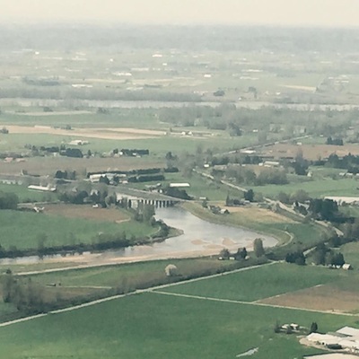
Walk through gravel pit past old train car, turn right at T. Cross tracks. Go over bridge turn left after bridge. Cross tracks again, you are now across Norrish Creek.
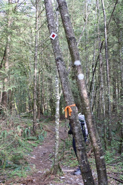
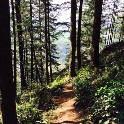
Follow the rocky path dirt path that leads to tunnel of trees. At T, go right. Next branch go right. Orange trail marker flagging tape and white square with red in middle. There are alo a small pile of rocks, known as a cairn. Turn right here and head down trail.
You are now in timber. It climbs steep for maybe 100 m then a flat snaky trail going up switch backs along to your first bluff marked 1...no view here.
Up a bit levels then down through some big rocks. Soon it gets quite steep. As a shorter person it was a little hand scrambling. There's a few lookouts here on uneven trail.
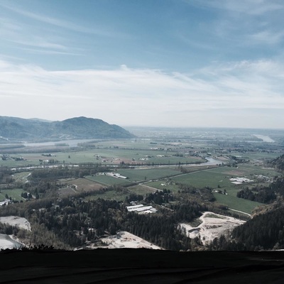
Finally you come out to another bluff, not marked but stunning views. Then you get to bluff 4 which you need to go left as its a little off trail. You'll come to a branch. We went right which took us to a beautiful bluff. Not numbered. This seems to be your final bluff. (Left is to a tree-house/cabin...)
There is a faded sign here that says it is 30 mins to launch pad. We walked along a an old tree covered path to a logging road then went left. Keep going here and soon you'll come out to the launch pad. Once at the top you can try and go back down the logging road...it was confusing or take steep trail down on the left (when looking out at view).
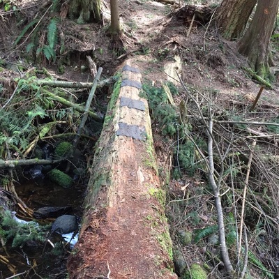
The trail first comes to an uprooted tree. It's a little tricky here. Once here the trail snakes down. Keep going you'll see a cabin and shortly after a log bridge. Then the trail meets up where it branched off. Take your time going down as it's very steep in some sections. Happy & safe trails...
*We tried to do it as a loop going back on the logging road but decided that was too confusing. It might be easier to start at the logging road and make your way up that way to see where it all connects*
