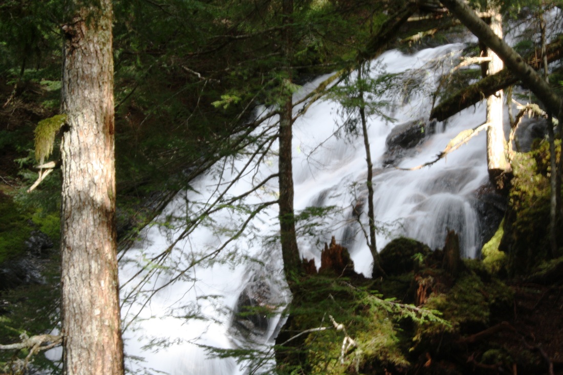
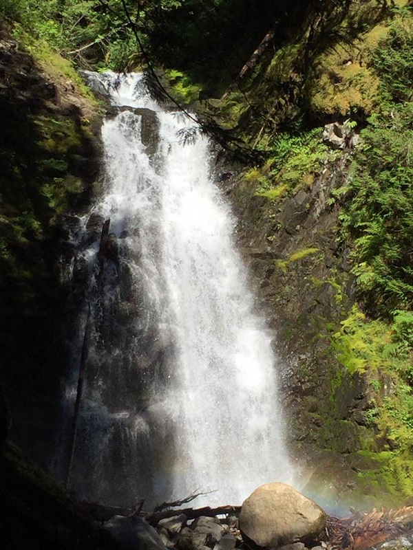
Trail: Follow a wide, rocky dirt path with a rushing creek on your right. Soon the trail becomes skinny as it snakes it's way up to a wide log bridge with grating & small railing in the middle to give you some comfort. On your left is Eaton Creek with a powerful waterfall cascading down. This is about .5 Km's.
You will find different amounts for the trail length. I have Garmin and it records the length including switchbacks. Most trails will say 8.2 km’s (rtn) or 5.1 miles (one way). Above is what Garmin said by two different hikers on the trail.
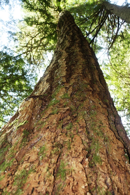
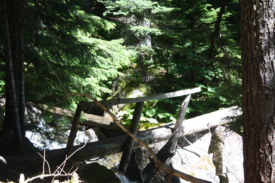
As you walk along the trail weaves it's way switch backing and snaking it's way in a beautiful forest. It's steep almost the entire time. The grade levels out at times but don't get too comfortable as it soon climbs again. After awhile it dips down to a sketchy bridge crossing with a bench. It’s not high up but definitely in need of repair. It is written this is the 1/2 way mark but you have quite a distance to go.
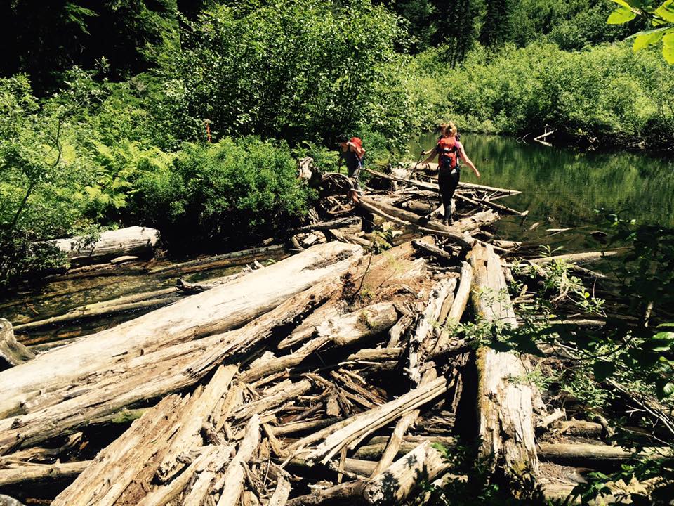
At times along the trail there is blow down and and few logs to climb over. Soon you come to the second Falls Lookout. It's a skinnier trail and a slight drop off on your left side that would take you down to the river. You can get a little closer to see the falls but it's rooty & slippery. Once you're happy you can make this the end of your hike or carry on to Eaton Lake.
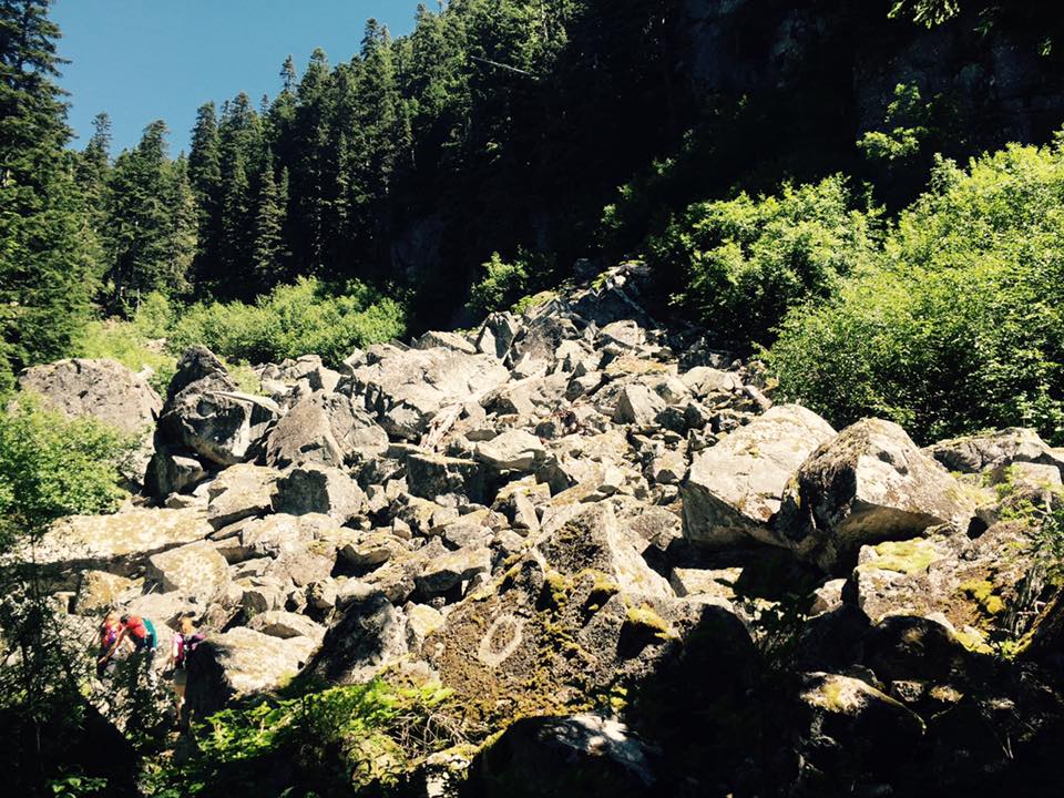
Continue following the trail as it begins to climb If you decide this is the end then a trip back to the first log bridge crossing is a great area for lunch and to snap lots of photos. If you decide to carry on, keep in mind the trail steepens through the forest. As you near the top there are two sketchy log crossings and a boulder field to get through before you arrive at, Eaton Lake.
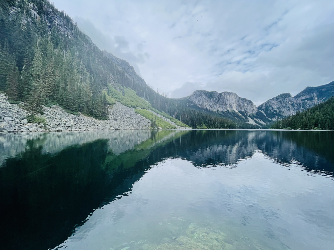
As you near the top you’ll come to a log bridge with a rope railing to help you gain your confidence. You’ll go through some more forest then the last bridge. This one has been fixed recently. Make your way across. A short Boulder crossing and one more hump up through the forest and a short trail ti Eaton Lake.
I would suggest to go on a dry day and to bring MICROspikes, poles and good footwear. Happy & safe trails.
Directions:
From Highway #1 (Trans-Canada Highway) near Hope, take exit #168. Follow Flood Hope Road east to a flashing amber light and turn right on to Silver Skagit Road. Follow the gravel road complete with many potholes. After the road's 16 km marker, turn left on to a side road marked with a sign for the Eaton Lake Trail and Eaton Creek forestry campsite. Follow the road up a short hill to the campsite area, where there is parking for approximately four cars. There's not a lot of room up there.