Bear Mountain: Mission by Corinne McConnell Janzen
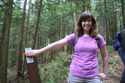
Meet my guest blogger, Corinne. I was sitting here thinking now where did I meet her. Then I remembered she posted on a Chilliwack hiking page that she wanted to go snow shoeing. I invited her that night and sure enough the next morning she was SS'ing with us at Zoa Peak. I'll tell you that I liked her instantly. You'd think when you met her she is really not a hiker as she shows up cuter than anything, lip gloss in tote but she has navigation skills that will get you out if any back country, is a little bit of a mountain goat, doesn't complain and is super fun to hike with. She is kind hearted and is giving of one of the things we might not think of...her time! Her energy is upbeat and always finds good in everything and everyone. If you're lucky enough to be friends with Corinne you are truly blessed.
This is Corinne's recent journey to Bear Mountain. Now there are two Bear Mountain's, this one is the trail in Mission.
Psst...she doesn't want me to call myself Scaredy Cat any longer as she thinks it is hindering my growth so I'll say...Lori.
Bear Mountain
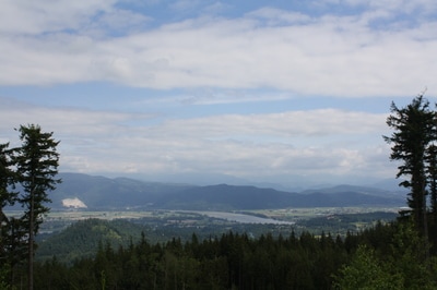
A lovely little hike with a surprise view at the top. The trail up Bear Mountain is also sometimes known as Pioneer Trail however we didn’t find any signage to that effect the day we went nor any pioneers for that matter. What you will find are all kinds of mountain biking trails that we thought doubled really well as hiking trails.
Directions: Head east on the Lougheed Highway and turn left at Dewdney Trunk Road where there’s a Co-Op gas station on the corner. The road bends and curves and eventually you will drive by Westminster Abbey. Shortly after turn right on Stave Lake Street. Soon you come to an intersection where you have to turn right to stay on Stave. Don’t turn, keep going straight. The road is now Doyle. When you get to an intersection with Richards Street, continue straight. It’s a dead end and this is the trail head. There’s a house on the right so don’t block their driveway.
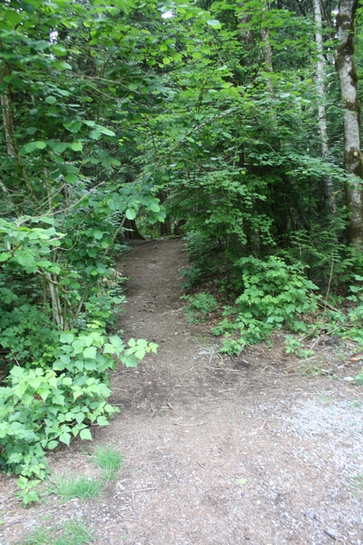
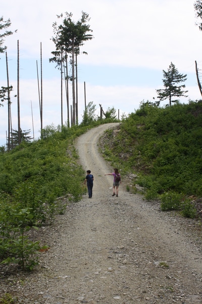
There’s no sign but enter the forest at the trail head. Right away there’s a Y intersection. Stick to the left and cross and short wooden bridge. Continue on this trail up through the forest. You will come to a funky tree you can stay on the trail or go up the trail on the right. It's a lot steeper but both take you tot he same place (Bomba Trail). You’ll know it’s a bike trail because of the curved/banked corners but we didn’t meet anyone else on the trail. The bottom part has a few steeper sections but they’re short and flatten out quickly. At one point we saw a sign on a tree for another trail named Cranks which headed down to the left a bit. Just stay on the path and keep going up. There’s minimal trail tape but you’ll cross a lot of little wooden bridges. The forest is really beautiful and open and you see the sky peeking through almost the whole time so you think you must be almost near the top. Eventually you will come to an intersection for a two trails called Corduroy (easy) and Bomba (more difficult). Turn right here and head up Bomba. It’s a little bit rockier than the rest of the trail but only for a very short distance … nothing to worry about. All through the forest there are jumps and platforms for the mountain bikers. Stay on Bomba and eventually you’ll come out of the forest at a sign that says Back Door (most difficult). This is your marker to find your way back onto the trail. Turn left and head up the gravel road for only about -300M to the top where it flattens out and you are rewarded with a beautiful view of the end of Hatzic Lake, the Fraser River, Sumas Mountain, Matsqui Prairie, and way off in the distance Mt. Baker, Slesse, and even Elk and Thurston! The whole hike including a 20 min. stop up top was only 2 ½ hours. There are other entrances to this mountain where you can find other ways to the top so it’s difficult to estimate the exact amount of elevation but the directions we had said it was 200M and 2.4kms return. I can tell you for sure it was probably double that length and felt like we gained more than 200M.
Once you’re back down you’ll have time to head over to Cascade Falls to complete a really great day!
