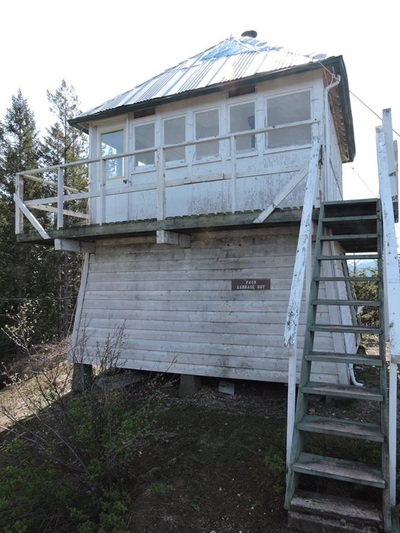
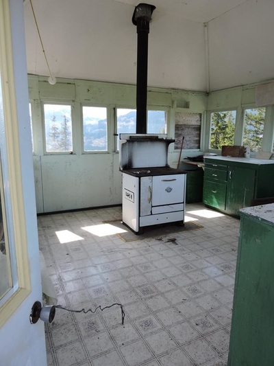
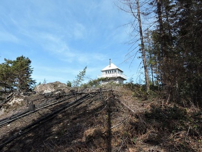
Note: This fire tower is currently being re-built. May 2019 As soon as I have some new info I will post it here.
Stats: 4 km return
375 meters elevation
Dogs: yes
Toilet: no
We traveled roughly 25 km's up the West side of Harrison Lake FSR (Sta'ailes Forest Service Road). We then turned right onto a secondary road and then after about 500 meters we turned left onto another steep road to where the trail head for the Harrison Lookout/Fire tower is located.
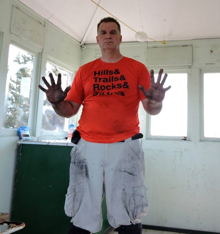
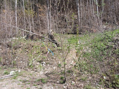
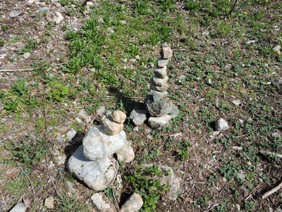
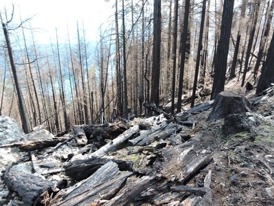
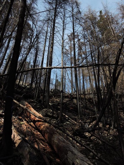
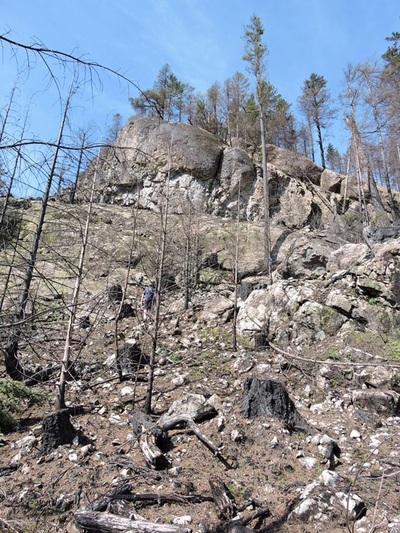
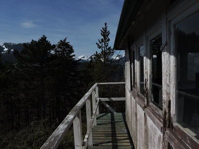
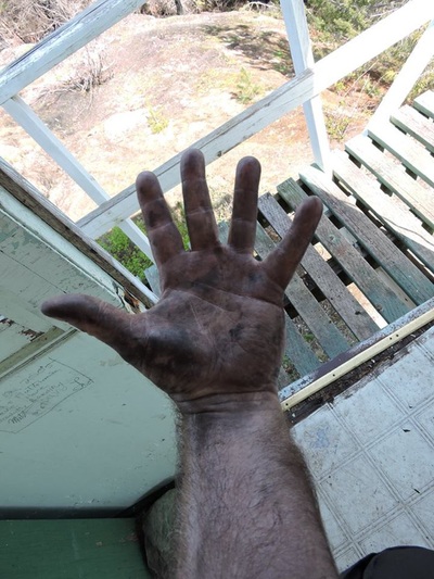
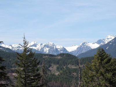
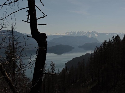
On your right you'll see flagging tape and two rock cairns. Start on the old logging road. Right away it's a steep climb. It levels off for a couple hundred meters and then it comes to a sign on the ground on your left, "foot traffic only." Once here it is a steep climb up and over soot/ash covered trees from the 2015 human caused forest fire that took out 1325 hectares. Keep looking up for orange metal trail markers. Some TM are no longer orange in colour and blend into the burned stumps & trees. It is easy to lose the trail...There was flagging tape but at times it was misleading. The trail is 4 kms round trip & 365 meters of elevation. Expect to get covered in ash. Once at the top you'll be treated to views of Mt. Baker, Tomyhoi, Mt.Cheam & Sleese.
|
|
