Elk Mountain~Chilliwack, BC
Hiking Key: M~2~ PT~R~ST`~TR~V~DF~KF~RO
Length: 8 Km’s
Elevation: 800 meters
Pit Toilet: Yes-beginning
Dogs: Yes
Elk Mountain is a beautiful hike but don't fool yourself into thinking it is an easy one. It is a butt-kicking-knee-thrashing workout! You will start your hike after driving up a road for 8 km and then a dirt road for another 2 km. Parking is just to the left side and the trail just steps away. Make sure you bring lots of water...this hike doesn't have any water sources.
The start of your hike has one big sign that says Elk/Thurston, go left up the trail. The trail is wide and soft on your feet. In the beginning it is rolling hills that are quite the climb.
Eventually you will come to a logging road, cross it and the trail picks up again on the other side. It is here, the second half where you gain most of your 800 meters of elevation.
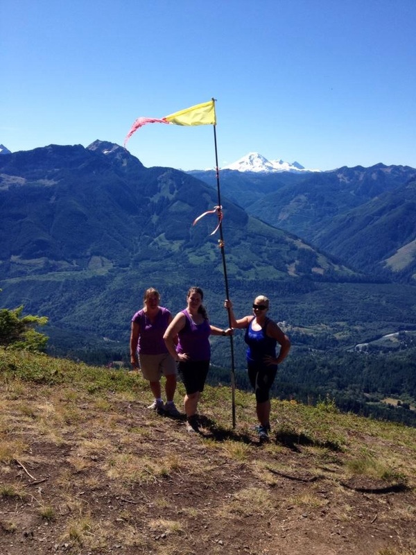
The second half of this trail gets steeper and steeper as you walk through the forest. You will know you have about another 1/2 km left on the trail when you arrive at the first lookout. Up to the first lookout is a steep slippery dirt path on loose shale and open on one side. Once here the views are stunning.
To carry onto the summit of Elk go up the left side of the path (if you go right it's on an exposed ledge). You'll walk through the forest for a few minutes then go left and it pops out into the open. Keep hoping and pupil come into that loose shale. Climb up here and keep going as the trail snakes it's way to a couple of Wind Socs. This is the un-official summit of Elk but just around the corner is the official summit. There's a bench here and views of Tomy Hoi, border peaks and Sleese. Once you've soaked in the views carefully make your way down the two area of loose shale and the steeper parts of the trail and finally back to the car. Happy & safe trails!

