Mt. Gardner: Bowen Island |
|
Trail Key:
Moderate~2
Steep
Views
Dog Friendly (leashed & please pick up pet waste)
Kid Friendly
Length: 10 Km's(rtn)
Elevation: 520 meters
Pit Toilet: No
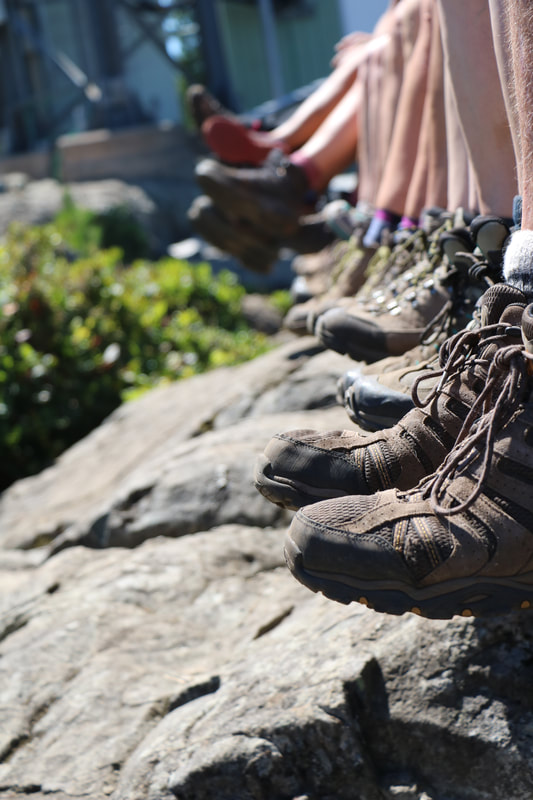
Supplies: Ten essentials, good shoes & poles, tell someone
Make your way to the ferry located in Horseshoe Bay. It's a cost one way. We brought our cars but you could park at the terminal and ride your bike (about 6 Km). There are a few ways you can hike Mt. Gardner. I'm going to give you directions to hike it where not many know.
Directions: From the ferry terminal make a right on Bowen Bay Rd, First right on Westside Dr and then first left on Laura Rd. The trail head is at the end of the road. There's room for a few cars to park. There's a large sign/map of Mt. Gardner.
Hike: Your adventure starts off relatively flat but don't get too comfy. It's a short flat. At the 1st sign post stay right. Not too long after there is a second wood sign post and a T, go left here. Don't forget to make notes as you will come down the same way and want to make sure you remember which way to go.
It flattens out a little with a small hill to give you a little breather and begins to climb again. Eventually it descends a little, then it's flat briefly. The trail snakes, stay right. Then it starts climbing. Soon after the grade is a little easier but it's still hilly.
After awhile it's a short steep climb then the windy trail flattens a bit. Then there's a steep climb to the first lookout. It's pretty here but the views to come are well worth the climb. Now you are on a snaky rocky path that seems to skirt around with some hills.
You will arrive at a T with a sign post, go left. You have made it to the loop. The trail goes for a bit then you come to two signs. Follow them to north view and when trail splits go right. It's well marked here. Follow the trail up the last grunt and you have arrived at the heli-pad. Once you have seen the views take a look at the other side for more views on another heli-pad.
When you have finished head back the way you came remembering where to turn to get back to where you parked your car earlier.
Happy & safe trails.
Moderate~2
Steep
Views
Dog Friendly (leashed & please pick up pet waste)
Kid Friendly
Length: 10 Km's(rtn)
Elevation: 520 meters
Pit Toilet: No
Supplies: Ten essentials, good shoes & poles, tell someone
Make your way to the ferry located in Horseshoe Bay. It's a cost one way. We brought our cars but you could park at the terminal and ride your bike (about 6 Km). There are a few ways you can hike Mt. Gardner. I'm going to give you directions to hike it where not many know.
Directions: From the ferry terminal make a right on Bowen Bay Rd, First right on Westside Dr and then first left on Laura Rd. The trail head is at the end of the road. There's room for a few cars to park. There's a large sign/map of Mt. Gardner.
Hike: Your adventure starts off relatively flat but don't get too comfy. It's a short flat. At the 1st sign post stay right. Not too long after there is a second wood sign post and a T, go left here. Don't forget to make notes as you will come down the same way and want to make sure you remember which way to go.
It flattens out a little with a small hill to give you a little breather and begins to climb again. Eventually it descends a little, then it's flat briefly. The trail snakes, stay right. Then it starts climbing. Soon after the grade is a little easier but it's still hilly.
After awhile it's a short steep climb then the windy trail flattens a bit. Then there's a steep climb to the first lookout. It's pretty here but the views to come are well worth the climb. Now you are on a snaky rocky path that seems to skirt around with some hills.
You will arrive at a T with a sign post, go left. You have made it to the loop. The trail goes for a bit then you come to two signs. Follow them to north view and when trail splits go right. It's well marked here. Follow the trail up the last grunt and you have arrived at the heli-pad. Once you have seen the views take a look at the other side for more views on another heli-pad.
When you have finished head back the way you came remembering where to turn to get back to where you parked your car earlier.
Happy & safe trails.