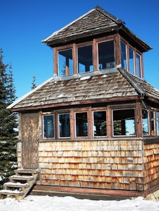
 Windy Joe Fire Tower
Windy Joe
Manning Park
Trail Key: M~2~PT~H~DF~KF~V~PT
Length: 16 Km's
Elevation: 654 meters
Pit Toilet: No
Dogs: Yes
Drive past the Manning Resort and not too far along the road, just after the bridge and before the parking lot is a pull out to park on your right. There’s a big Manning Park sign and a Windy Joe Lookout sign post. This mark’s the start of your hike. Its 16 km’s return/654 meters.
Right from the start there is dead fall but it’s easy to navigate. For the beginning of the hike it’s flat in old growth forest. This goes on for about 2 km’s.
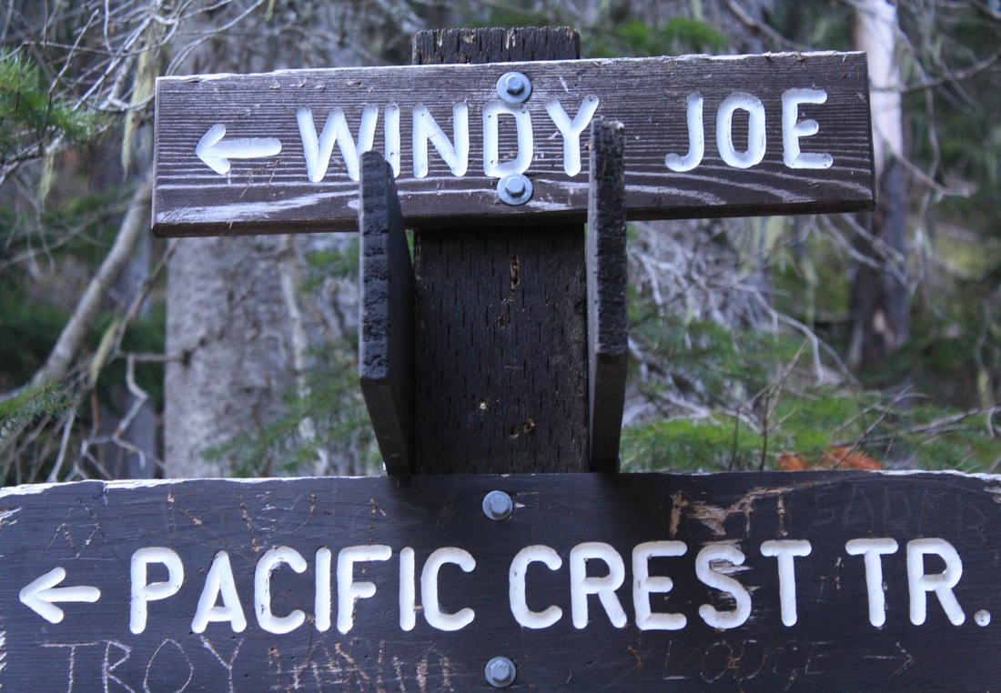
The trail forks/junction: stay right & follow sign to Windy Joe Lookout Trail. If you go left it’s the Pacific Crest Trail (that’s the trail that takes you through the USA and ends in Mexico.) Or this also goes to Frosty Mountain. Today it’s Windy Joe… Here it starts to climb gradually up a wide, rocky road.
Just before 5 Km's there’s another junction (stay left) going right takes you to Pacific Crest Trail & Frosty Mtn.
After about 5 minutes you'll see a 5 Km's Windy Joe trail marker high in the trees…3 km’s to go!
Keep going as the trail snakes around with gradual elevation Soon a lookout of Frosty appears on your left, it's not far now.
The pit toilet will be your first sign that you are steps away from The Windy Joe Hut. There's a picnic table and vistas everywhere your eyes can see. Don’t let anyone tell you the trees cover the views. It is spectacular! You have arrived, your summit for today. Check out the hut. Upstairs there are pictures of all the mountain ranges. It’s a piece of history…
This could very well be one of my most favorite hikes. It’s a great workout and nothing scary. Consider this as a snow show as well. Happy & safe trails.
Windy Joe Fire Tower: The original ranger station was here and only a tent. It was here where in the 1948 rangers used this lookout for spotting fires. In 1950 this hut was built and for the next 13 summer’s rangers used this tower to spot fires. Now-a-days fires are spotted by planes and a ranger is still at Monument 83 (a larger tower built in 1963) during high fire season. This tower is left as a reminder of our history. This lookout was named after Joe Hilton, who worked in the park from 1946-1975 and who is responsible for laying out many of the hiking trails we enjoy today.
Pacific Crest Trail: I just started reading the book, Wild, by Cheryl Strayed. It’s about her quest to complete this hike solo after loosing herself. It’s quite the read...The Pacific Crest Trail, PCT, is a long-distance hiking trail. It passes through the Sierra Nevada and Cascade mountain ranges. The trail starts in Mexico and ends in Canada’s, Manning Park. The Pacific Crest Trail is 4,286 km long and ranges in elevation from just above sea level at the Oregon–Washington border to 4,009 meters. The route passes through 25 national forests and 7 national parks. It was completed in 1993. It is estimated that 300 people complete the trail each year. On average, the trail takes 5 months to complete.
