Mount Sleese to Memorial Plaque & Propellar Cairn: Chilliwack
History:
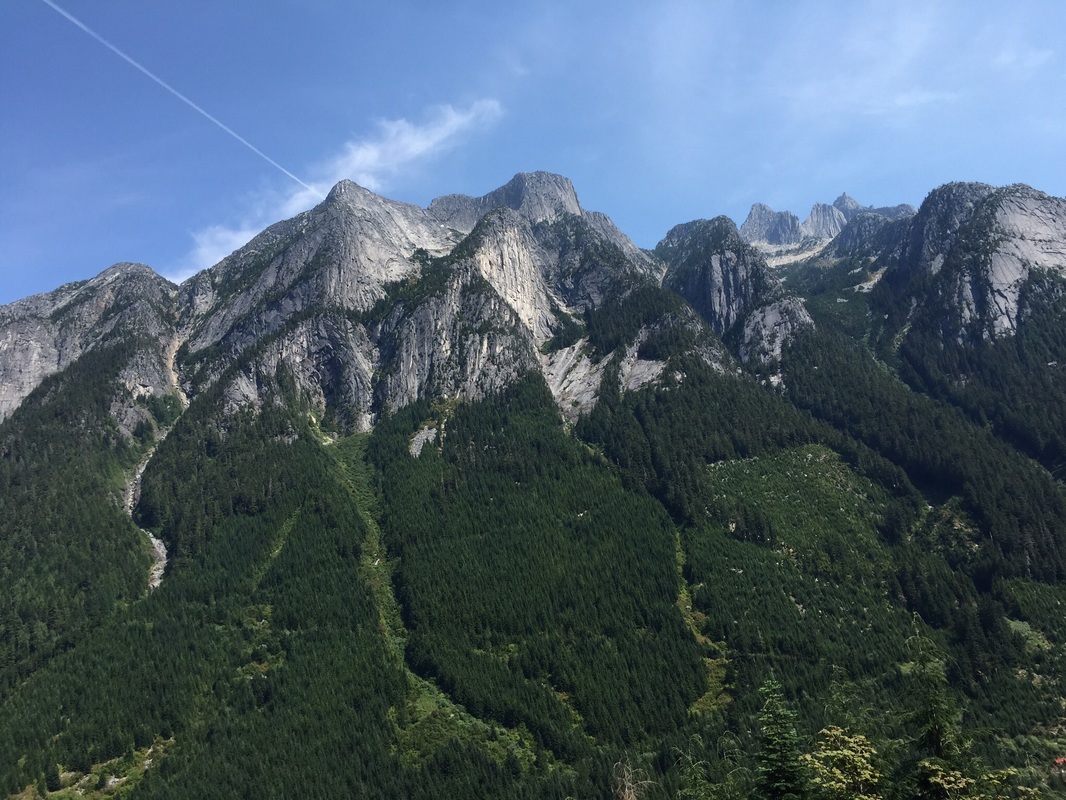
Nestled in the Cascade Mountains near the town of Chilliwack & famous for it's huge Northeast Buttress which can be climbed. Nearby mountains include Mount Rexford, Canadian & American Border Peaks, Mount Shuksan, and Mount Baker.
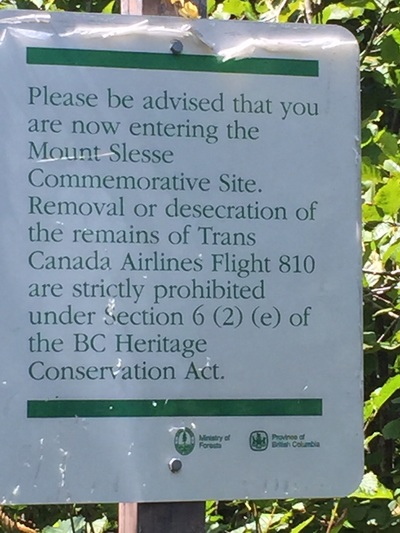
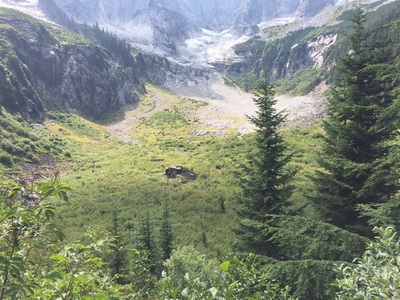
It's a very special place to hike. The history on the trail is on December 9, 1956, Trans-Canada Air Lines Flight 810, a North Star airplane crashed on the upper slopes of the mountain, killing all 62 people aboard. Among the dead were team members of the Winnipeg Blue Bombers and Saskatchewan Roughriders. They were on their way home from the annual East-West All-Star Game in Vancouver. In the late 1990s the provincial government were under pressure from the families of Slesse organization. They finally passed legislation to enshrine protection of the site; which at the time was under threat for clearcut logging. It's nice to walk through the old growth forest following the markers on trails leading to a memorial plaque. Continue on after to the propeller cairn. Be sure to be respectful of the area by not removing anything from the crash site. I felt very privileged to be able to walk this trek! The views are stunning and breathtaking. I'm looking forward to going back to finish my journey and carry on to the propeller cairn.
Directions:
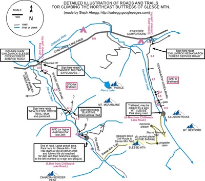
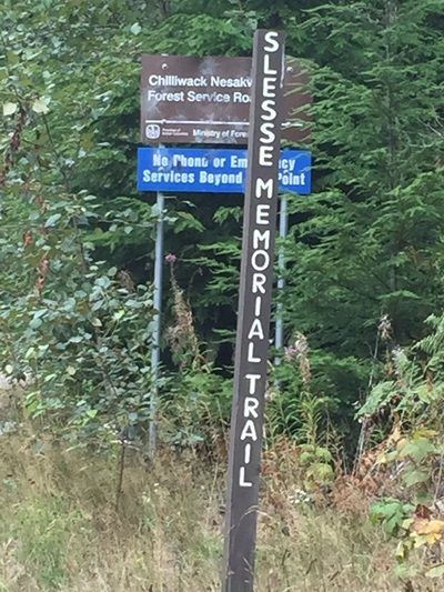
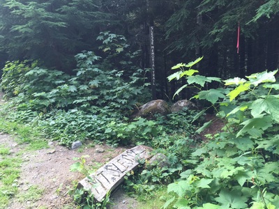
From Vancouver take Hwy 1 to exit 119A Chilliwack; continue on Vedder Road until just before the Vedder Crossing Bridge and turn left onto Chilliwack Lake road. Follow this road for 31 Km and turn right at the Riverside Recreation Area. There's road beside the campground. Almost like a "Y." Follow this road across a bridge. There are no signs but you're on the correct road. Turn right after 400m right after the bridge. There's a sign post here. A 4x4 or high clearance car is recommended on Nesakwatch Creek Road as it has multiple areas where washouts have come across the road and left behind large rocks and there are large dips in the road that may damage low clearance vehicles. Follow this road (Nesakwatch Creek Road) for 5.6 Km. The road will split just near the TH, it has flagging tape...go right. Follow the logging road until you see a log marked Mt. Slesse and a brown & white trail marker. It is possible to walk the logging road but you'll be adding on quite a few Km's if you choose to (about 10 Km's return).
Statistics: (Courtesy of Club Tred)
To Commemorative Plaque:
Total Distance: 8.3 km (return)
Estimated Time: 3 hours
Average Grade: 10.5%
Structure: Linear - Return
Elevation Gain: 435 m
Start Elevation: 660 m
Max Elevation: 1095 m
To Propeller Cairn:
Total Distance: 13.1 km (return)
Estimated Time: 4.5 hours
Average Grade: 14.4%
Structure: Linear - Return
Elevation Gain: 940 m
Start Elevation: 660 m
Max Elevation: 1600 m
Trail Key: M~2~KS~DS~LB~CC~RT~R~H
Length: 9.5 Km's return
Elevation: 400 meters
Pit Toilet: No
Dogs: Yes
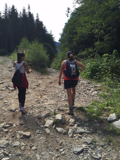
If your car can't go down the last stretch of road park here and make sure you go right at the yellow and orange trail markers.
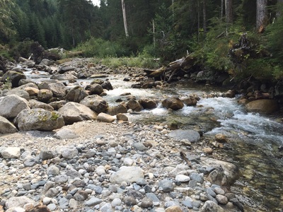
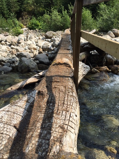
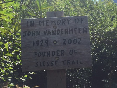
Follow the brown Sleese Memorial Trail marker down a snaky root covered and sometimes rocky trail to a river crossing. There's a log bridge here. With this dry season you can walk across parts of the rocks or make your way along the log bridge. The first part is a bit sketchy but the last part has a half railing.
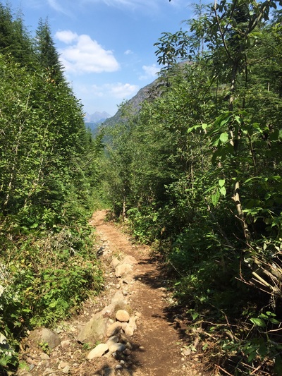
Walk along side river where you can see the trail has some new wonderful updates. There's a series of step logs as the trail weaves it's way along the river.
Soon after the trail gently climbs over a few mini log bridges; made from the environment, a log cut out, rocks, roots as it winds to a stair case in a beautiful old growth forest.
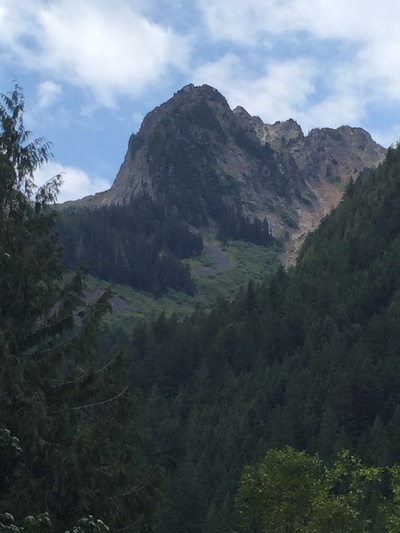
The next bit of trail is skinny at times with bushes on either side. This goes on forever as you cross a few creeks (that are currently dry). The trail switches from dirt to rock to dirt. It snakes it's way along with the odd view of what's to come. Spectacular mountain views. Finally you come to several signs about the trail. Keep going. The trail splits to left to continue to the propeller cairn and to the right is a lookout and the memorial plaque. Due to time and the fact we walked in an extra 6 Km's we decided to make this our summit and lunch spot.
From the Memorial Plaque to the Propeller Cairn is a steady climb up the same terrain. There's one rock you have to climb around but it's fine. Then just near the top is a slippery mushy area that's a little scary to get through. Although nit usually recommended there is a way around it up the grassy area or on the right side there is some man made steps which makes it a little easier. After that its quite simple to the top. The views are amazing and worth the trip.
You can feel how special this trail is from the beginning. Please be respectful to the ones who lost their lives here by not removing anything from the crash site and taking everything you bring in-out. Happy & safe trails!
