Skyline 1
Manning Park
Trail Key: M~1-2~H~R~V~DF
Length:16 Km's
Elevation: 775 meters
Pit Toilet: yes-beginning
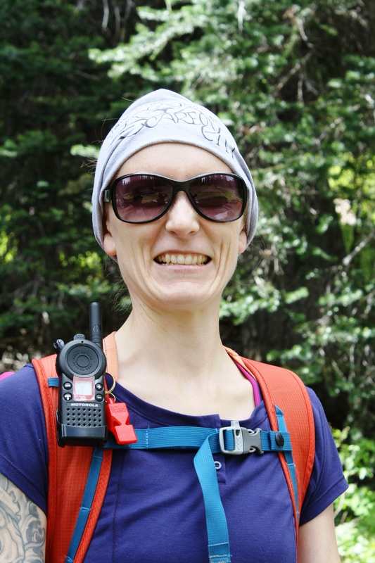
Dogs: yes
Directions: Drive to Manning Park Lodge. Once there, drive to the end of the parking lot and turn right. Follow the signs up to the Strawberry Flats parking area.
Walk down the path to a pit toilet & go left at sign post.
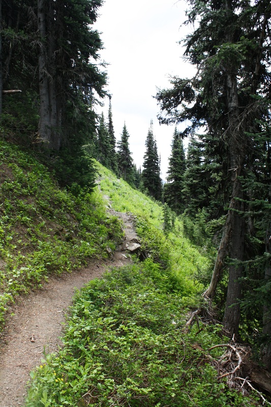
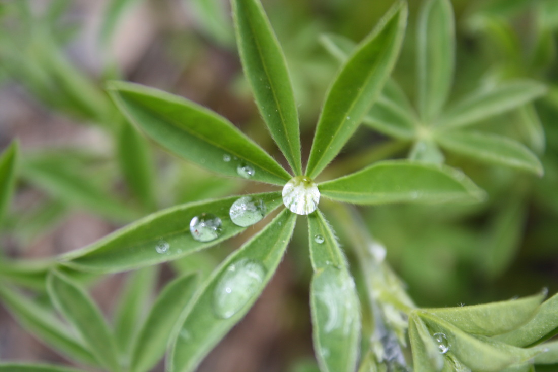
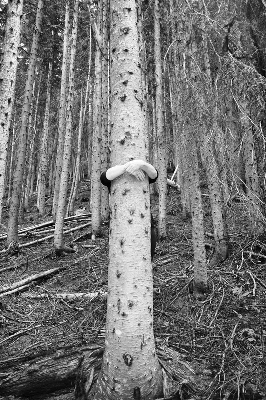
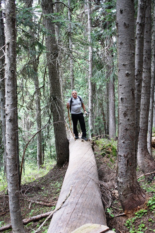
Follow this somewhat flat trail in the beginning through the forest as it begins to steadily climb. You'll cross hand crafted mini bridges made with materials from the environment.
After a long time it starts to switch back up. Keep going as it climbs.
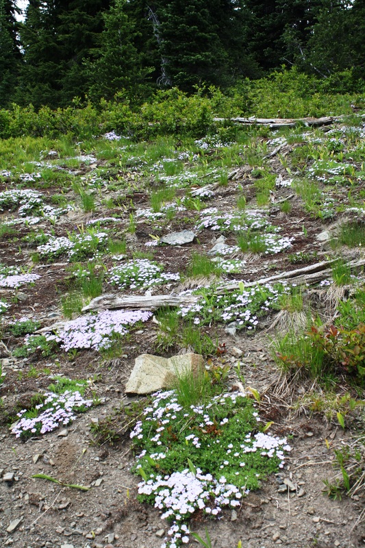
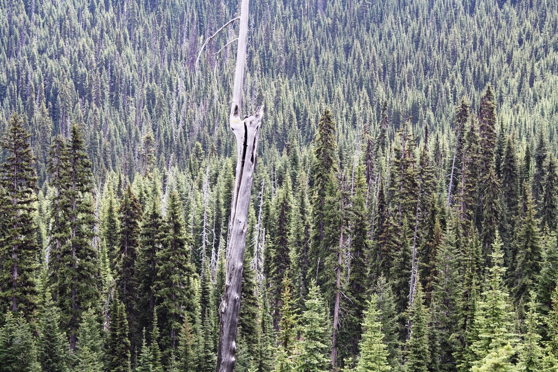
After awhile it pops out into the open meadows as it continues to SB. You'll come to a mini lake. It continues to SB up in the open and back into the forest for an easier grade.
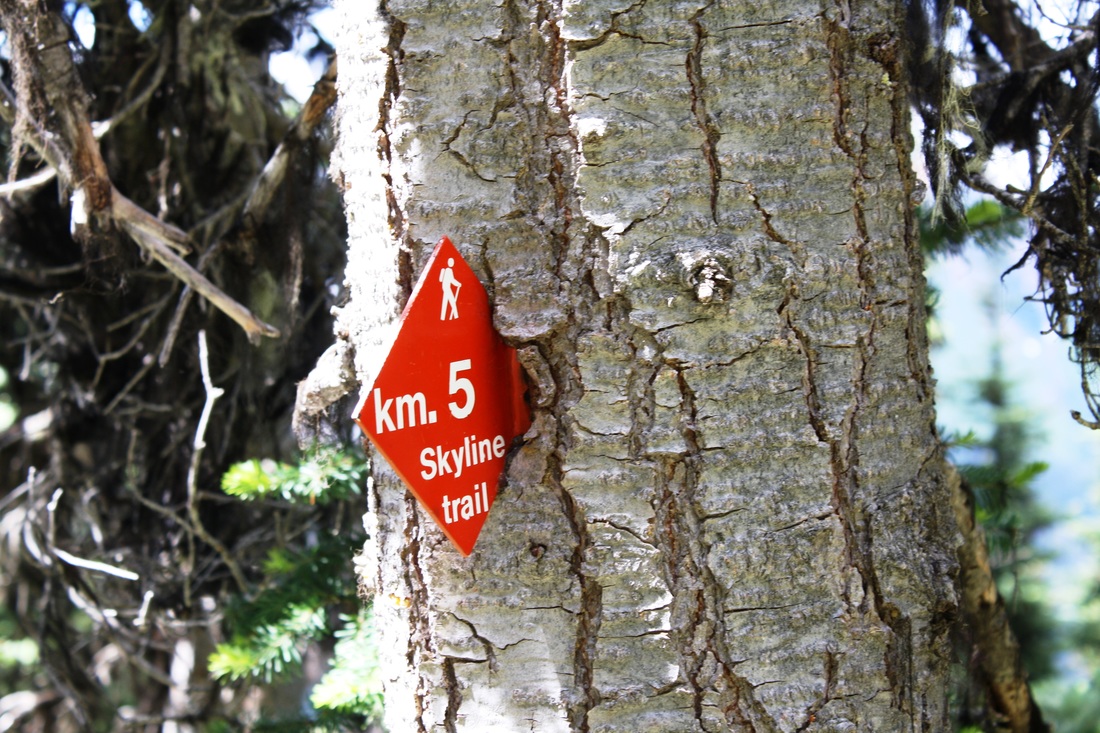
Then it comes into the open again as the trail snakes its way along to the 5 Km's marker. After here the trail becomes somewhat skinnier and is open on one side with loose shale. Its like this for about 300 meters. If you get vertigo then this part of the trail may be tough to swallow as it was for me.
This next part was reported from my hiking crew: The last 3 km’s is an exposed section, the view point, meadows and two very exposed areas. Then up to a rocky knoll. Happy & safe trails!
Manning Park
Trail Key: M~1-2~H~R~V~DF
Length:16 Km's
Elevation: 775 meters
Pit Toilet: yes-beginning
Dogs: yes
Directions: Drive to Manning Park Lodge. Once there, drive to the end of the parking lot and turn right. Follow the signs up to the Strawberry Flats parking area.
Walk down the path to a pit toilet & go left at sign post.
Follow this somewhat flat trail in the beginning through the forest as it begins to steadily climb. You'll cross hand crafted mini bridges made with materials from the environment.
After a long time it starts to switch back up. Keep going as it climbs.
After awhile it pops out into the open meadows as it continues to SB. You'll come to a mini lake. It continues to SB up in the open and back into the forest for an easier grade.
Then it comes into the open again as the trail snakes its way along to the 5 Km's marker. After here the trail becomes somewhat skinnier and is open on one side with loose shale. Its like this for about 300 meters. If you get vertigo then this part of the trail may be tough to swallow as it was for me.
This next part was reported from my hiking crew: The last 3 km’s is an exposed section, the view point, meadows and two very exposed areas. Then up to a rocky knoll. Happy & safe trails!