Mount Fromme
North Vancouver
Trail Key: M~2~KF~DF~RT~S~V~R~H
Length: 19 Km’s
Elevation: 1196 meters
Pit Toilet: No
Dogs: Yes
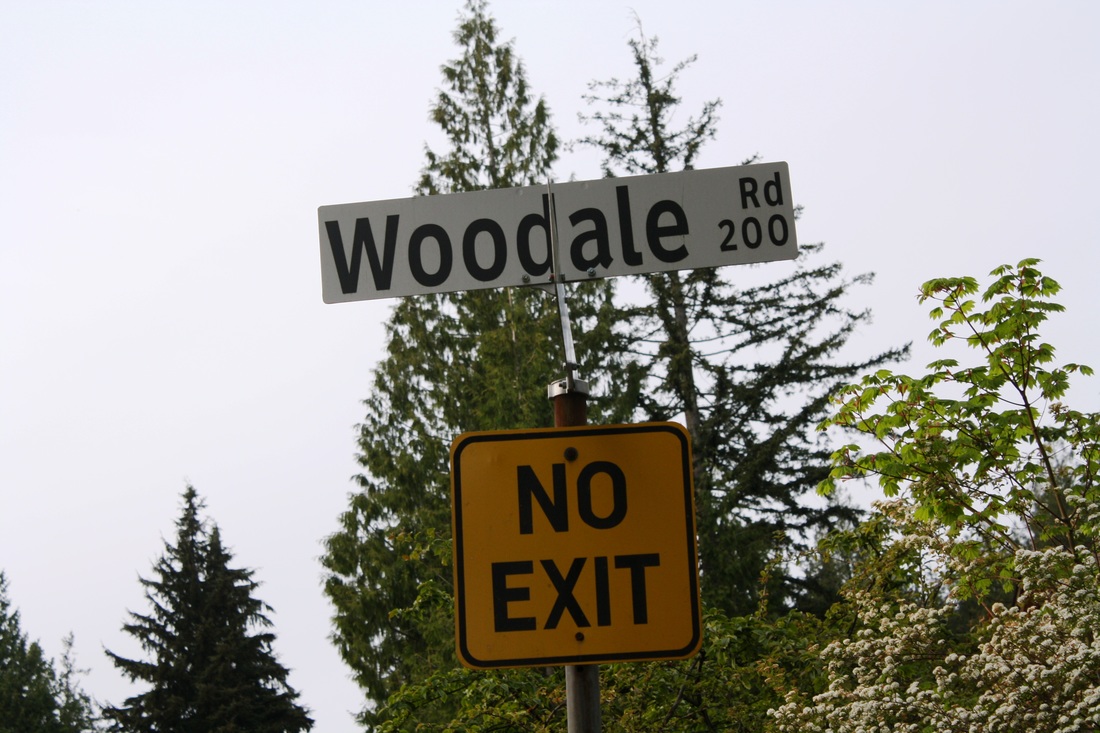
Directions: Take exit #18 Lonsdale Ave. Turn right after you come off the highway and follow the road all the way up To St.George’s, turn left and go all the way to the top of the road. You will come to a cultisack with a sign post. This is your trail start. There’s no parking here but down ½ a block there is.
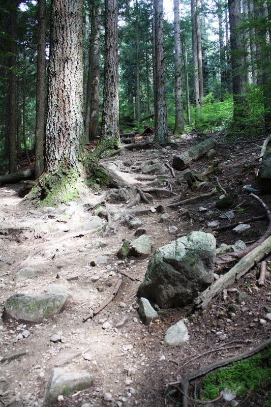
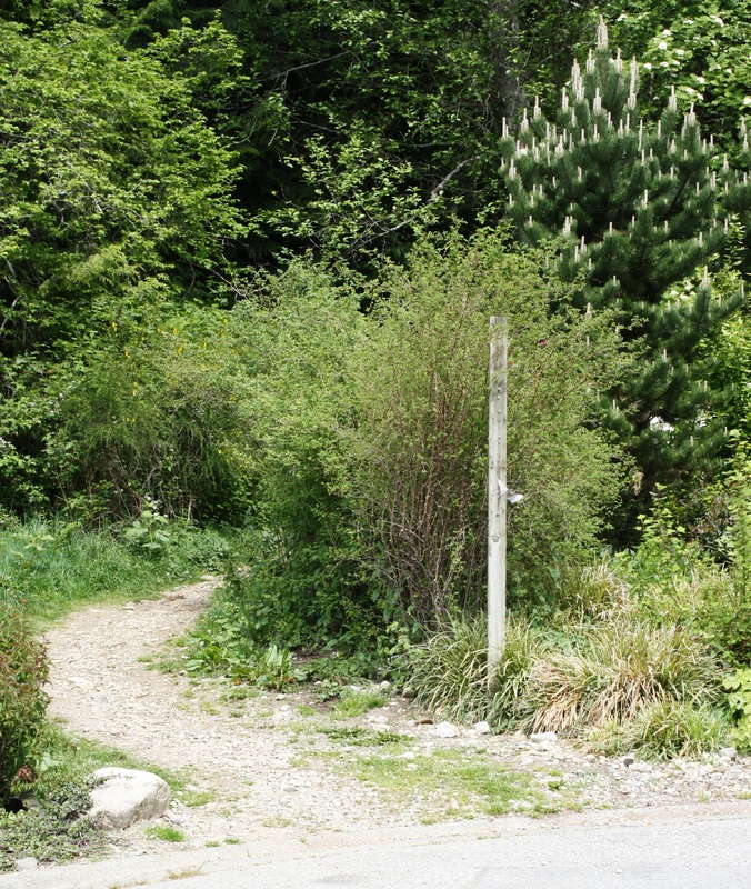
Start your hike here on this un-named sign post. It follows a rocky path up the trail and you’ll come to a clearing underneath power lines, go right here. There’s some faint pink flagging tape. You’ll need to remember this and after a long day on the trail your memory will be faint but this will be the way back to your car.
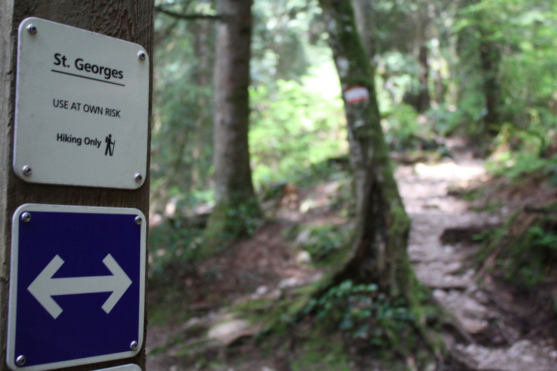
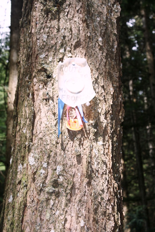
Walk up the road about 50 meters and there will be another road on your left…follow this trail which is called St. George’s. You’ll come out to a sign post that has Bayden Powell trail. Stay on St. George’s Trail and immediately another trail called Dreamweaver. Stay going up on St. George’s.
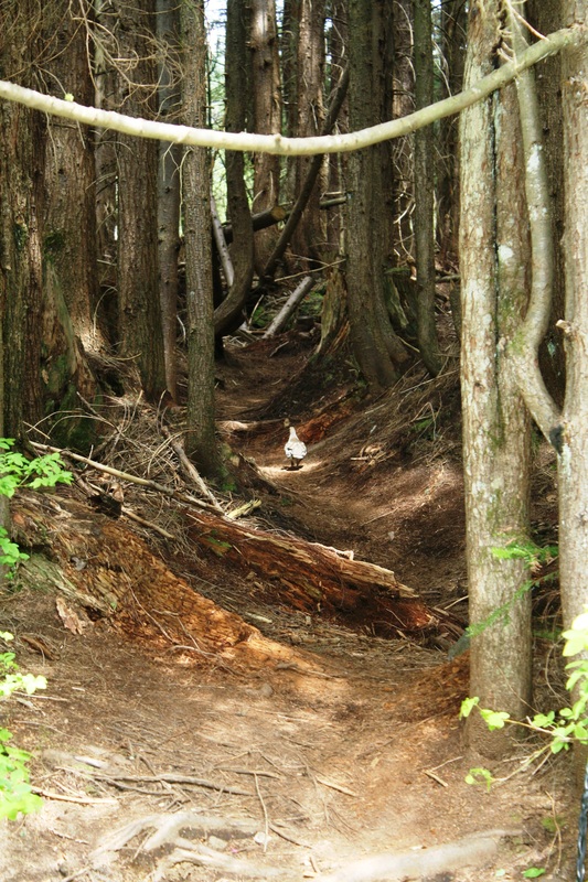
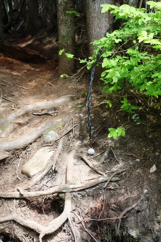
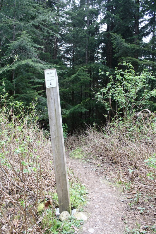
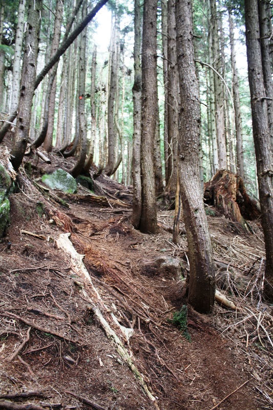
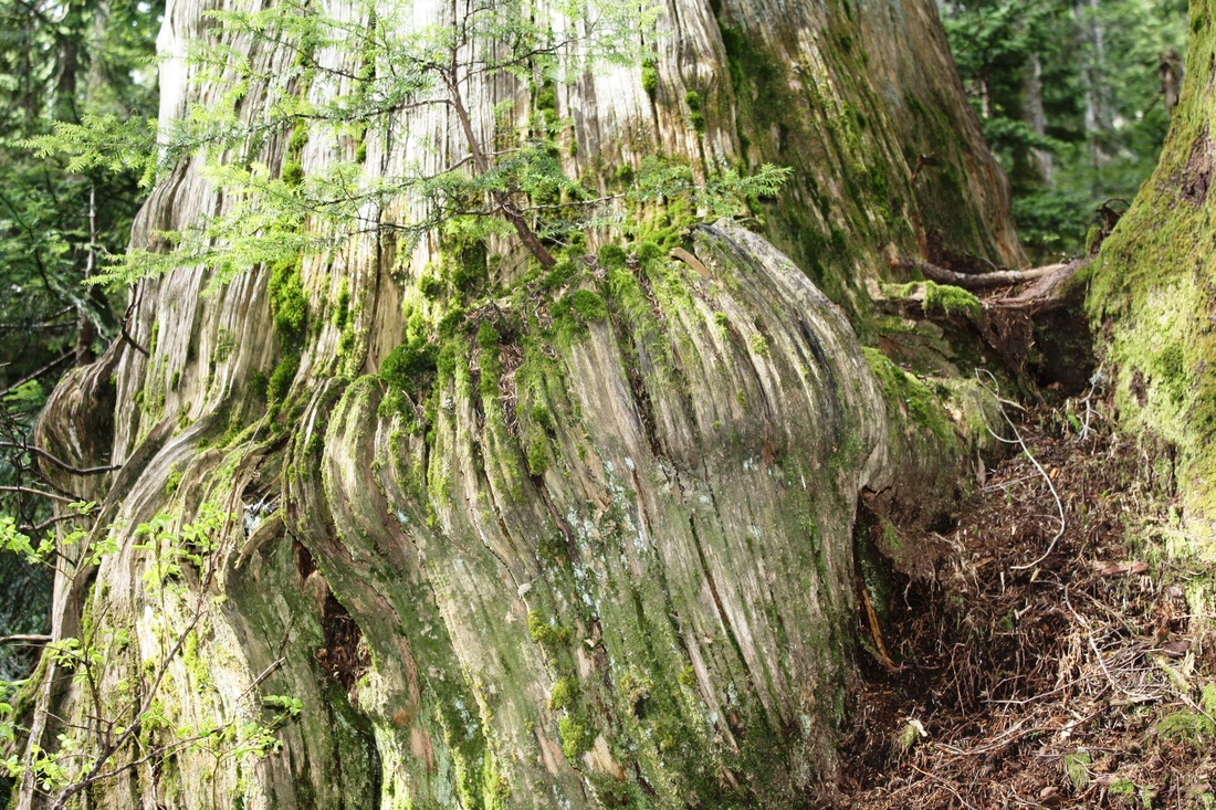
Soon you’ll come out onto a rocky road, go left. After a few minutes there’s a trail on the left. In Sharpie it is written, Perr Gynt trail. You can continue up the road or go up this side trail for a interesting way up. After quite awhile it comes out onto the road, cross the road and pull yourself up the fancy rope with golf ball. Now carry on as this trail snakes it’s rooty & rocky way to the top. It takes a long time with some steep ups to the top. It’s a good hour + up!
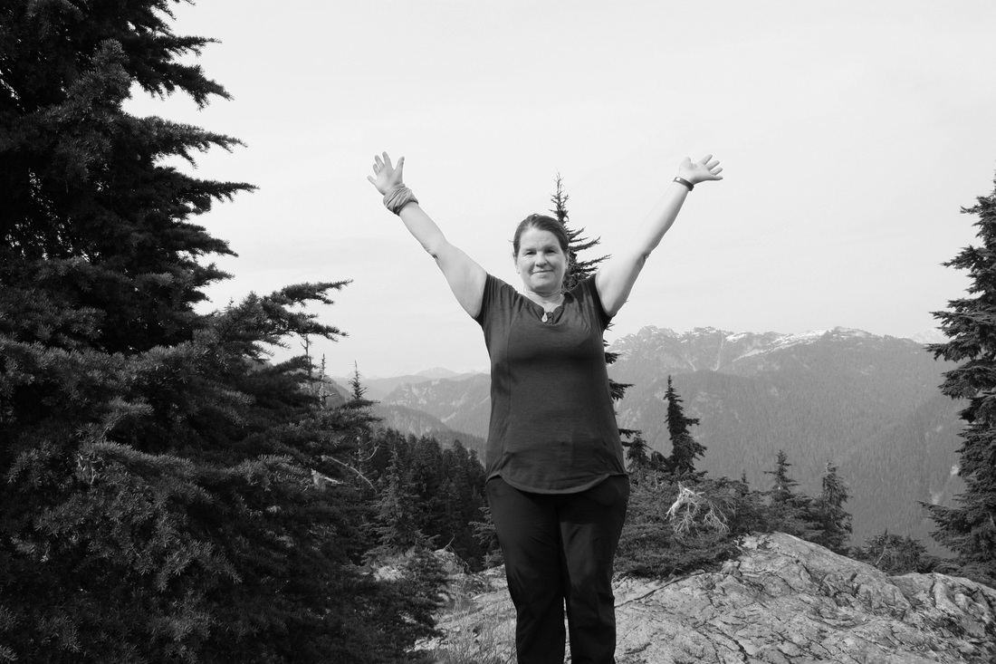
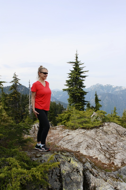
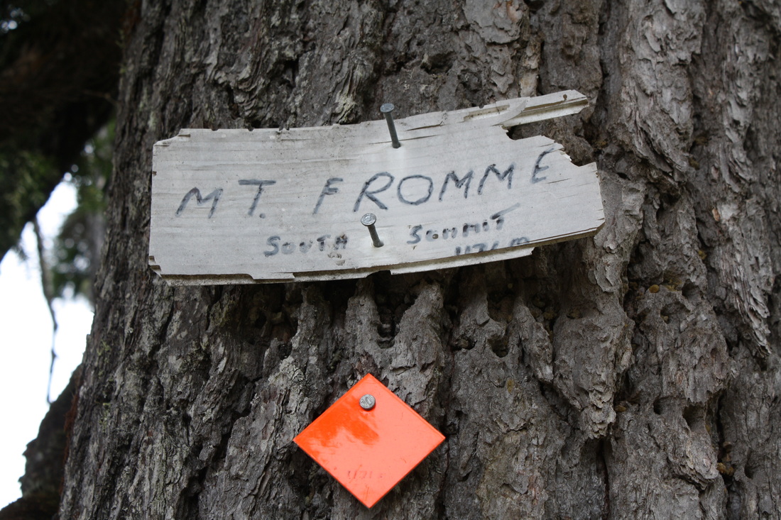
Once you are nearing the top there’s a T in the trail, go right to the South Summit of Mt. Fromme. There are views of Garibaldi, Crown Mountain, Grouse Mountain and far below Hanes Valley. Once your happy head back the way you came…making sure you take the same trail as the one that is beside it will take you to Grouse Mountain. Happy & safe trails.
North Vancouver
Trail Key: M~2~KF~DF~RT~S~V~R~H
Length: 19 Km’s
Elevation: 1196 meters
Pit Toilet: No
Dogs: Yes
Directions: Take exit #18 Lonsdale Ave. Turn right after you come off the highway and follow the road all the way up To St.George’s, turn left and go all the way to the top of the road. You will come to a cultisack with a sign post. This is your trail start. There’s no parking here but down ½ a block there is.
Start your hike here on this un-named sign post. It follows a rocky path up the trail and you’ll come to a clearing underneath power lines, go right here. There’s some faint pink flagging tape. You’ll need to remember this and after a long day on the trail your memory will be faint but this will be the way back to your car.
Walk up the road about 50 meters and there will be another road on your left…follow this trail which is called St. George’s. You’ll come out to a sign post that has Bayden Powell trail. Stay on St. George’s Trail and immediately another trail called Dreamweaver. Stay going up on St. George’s.
Soon you’ll come out onto a rocky road, go left. After a few minutes there’s a trail on the left. In Sharpie it is written, Perr Gynt trail. You can continue up the road or go up this side trail for a interesting way up. After quite awhile it comes out onto the road, cross the road and pull yourself up the fancy rope with golf ball. Now carry on as this trail snakes it’s rooty & rocky way to the top. It takes a long time with some steep ups to the top. It’s a good hour + up!
Once you are nearing the top there’s a T in the trail, go right to the South Summit of Mt. Fromme. There are views of Garibaldi, Crown Mountain, Grouse Mountain and far below Hanes Valley. Once your happy head back the way you came…making sure you take the same trail as the one that is beside it will take you to Grouse Mountain. Happy & safe trails.