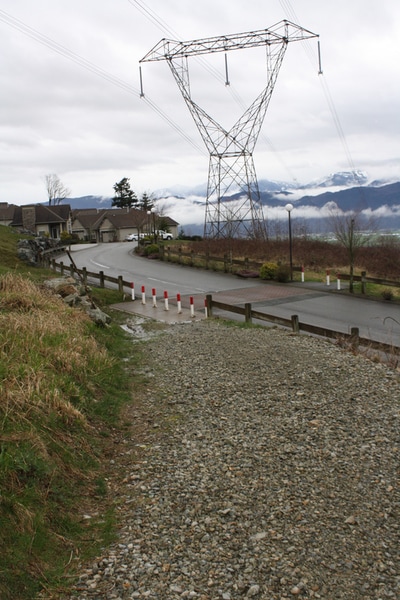
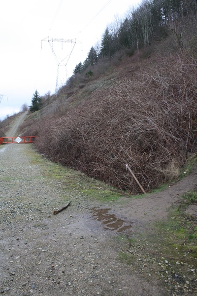
 This is where you can park. There's a spot across the street.
Trail Key:
Moderate, rolling hills, narrow trails, dog friendly (leashed), bike trail, switchbacks
Elevation: 160 meters
Length: 5.5 km's
Dogs: Yes; leashed
Pit Toilet: no
Hiking Checklist:
Backpack, poles, 10-essentials, gators, tell someone
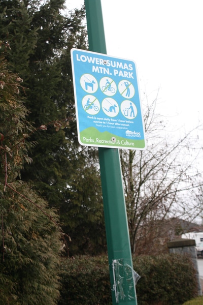
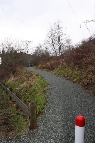
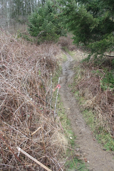
Directions: Park on Sandringham Dr & Whatcom Rd. Go up the gravel path with blue sign that reads, 'Lower Sumas Mtn Park.' Follow gravel TR up and cross road and go through red barriers. Carry on up gravel road to just before the red, No Trespassing sign on gate. There's a dirt trail on your right, take this.
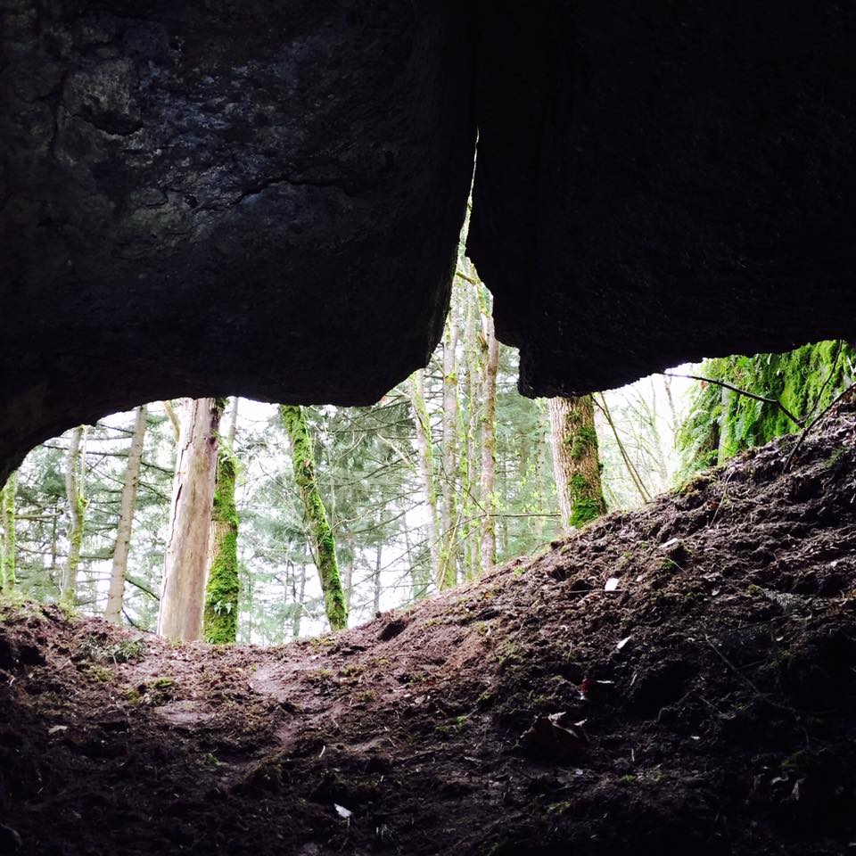
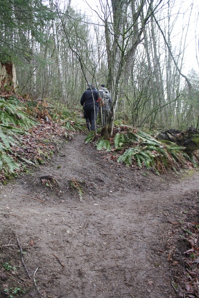
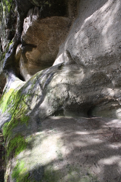
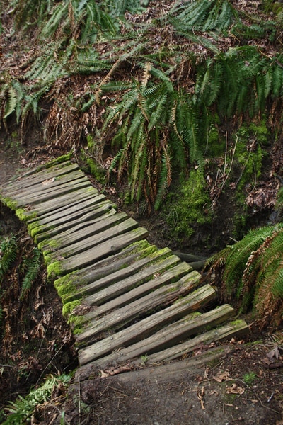
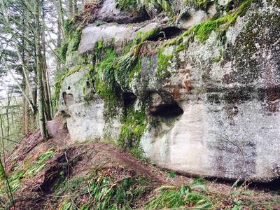
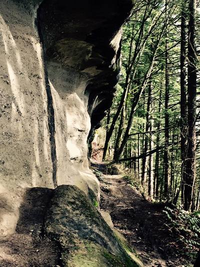
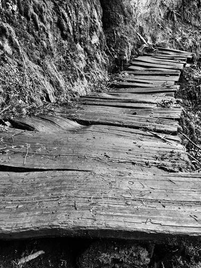
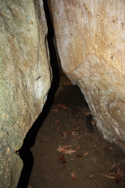
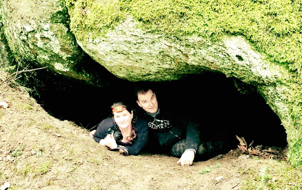
Trail: First part is steep & muddy for a few hundred meters then your in the trees but still climbing. You'll come to a 'T' carry on straight. The trail keeps snaking up. After a few metres another 'T' intersection. Keep straight. It's marked with the same flagging tape. Shortly after and the steepest part of the trail. Once at the top there's another 'T' go right. Now the trail levels and you can see your first sand stone rocks. They go on for about .5 km. Some you can crawl in and under. Lots of wooden bridges as the trail goes along. Then the trail goes down, levels and starts to switchback down. Now you're looking up at the cliffs. After the first switchback we could see a crashed car straight down the hill. If you keep following the trail down as it keeps switch-backing. Once at the lower main trail go left and follow the the trail to see another cave which you can crawl into. After that keep walking left to see the crashed car. It’s on your left just above the trail. When you have seen all that turn around and head back along the trail to your first 'T' you came up along earlier in the day and go left down the steep trail to gravel path. Cross the road and continue down gravel path, cross the road and walk down the last trail to where you parked earlier.
These are biking trails so be mindful that bikes may be on the trail.
Happy & safe trails🌲
