|
Clatsop Loop
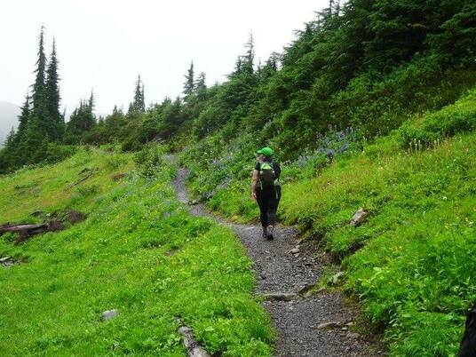
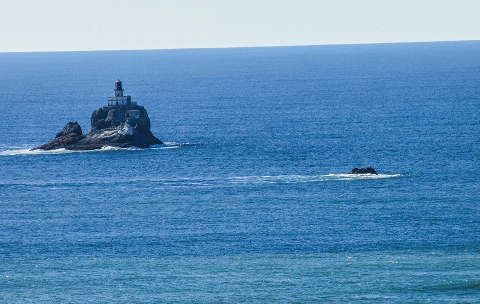
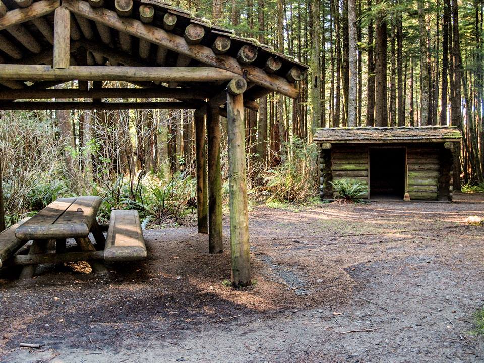
Length: 3.8 km Elevation: 250 metres elevation This loop is part of the Tillamook Head Trail that you can start in the Ecola State Park and it ends in the town of Seaside or vice versa. The Tillamook trail head is 9.6 km one way or 19.2 km if you want to do return trip. You can catch a taxi in, Seaside but it will only drop you at the gate of the park which will give you a few km walk back to your car and cost you around 20 dollars. Because I was trying to fit in as many hikes as I could I did the Clatsop Loop but was told by locals the full trail is a must do if you have the time. Tillamook Head dominates the coast and is especially visible from Seaside where it is a major part of the landscape. This trail reminds hikers of its acquaintance with the Lewis and Clark expedition where in 1806 members of the expedition hiked over the head to what is now Cannon beach to the base of Ecola creek to (now Cannon Beach) to scavenge what they had heard of a dead whale being beached there. When they arrived local natives had already stripped the corpse and the crew then bartered for meat and oils. I started the trail where there was signage for lighthouse viewpoint, this thin but well used trail starts quickly going uphill along the bluffs above the ocean giving you a few beautiful views of the deactivated Tillamook Rock lighthouse. The trail levels out to a slight Incline after a I would call around 2 km but I had nothing to measure this by. From the last lookout you have a nice wander through the forest viewing some very large and very old trees until you reach s backpacker campsite, 3 walled shelter, picnic tables and firepit. From the camp there is a small trail leading west that brings you to a ww2 gun battery almost obscured by the forest and another lavish view high atop the cliffs over the ocean. After a quick lunch you head east out of the camp and it brings you downhill a wide gravel road along Indian creek. I just ran down this road past some educational interpretive forest signs around another mile half till I returned to my car. This trail was very enjoyable and if I had more time would love to finish the whole Tillamook Head trail. For all you scaredys' when the trails came close to bluff edges there were sturdy fences and along the trail there were no open steep places. I fully recommend this hike. Watch for more up-coming hikes from Dave's trip to the Oregon Coast!
1 Comment
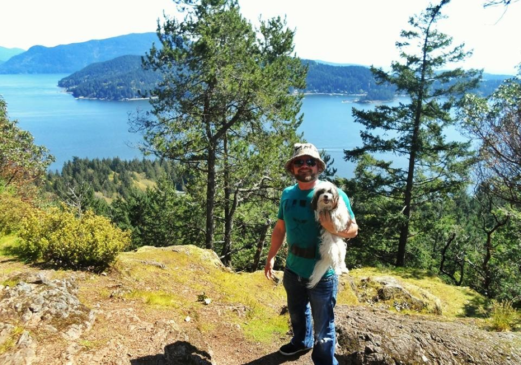
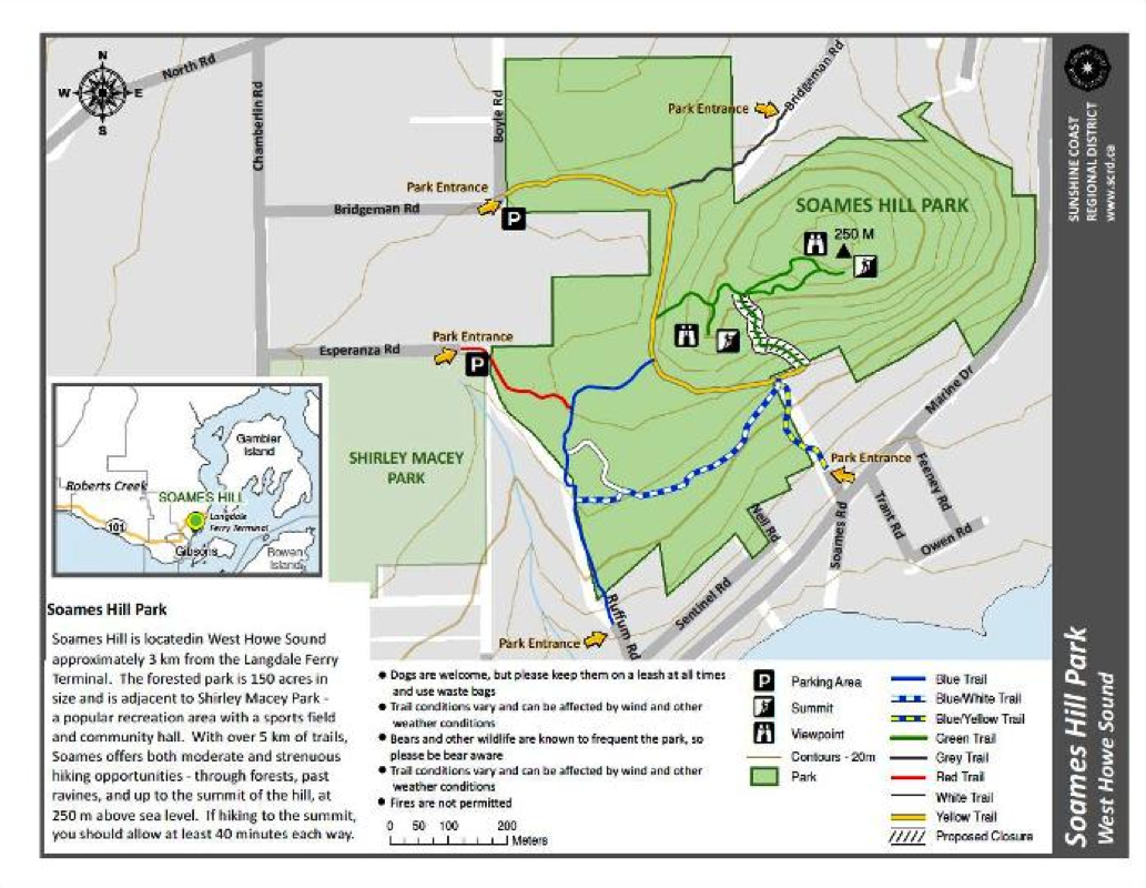
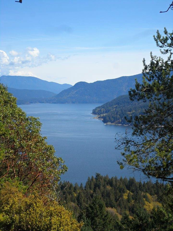
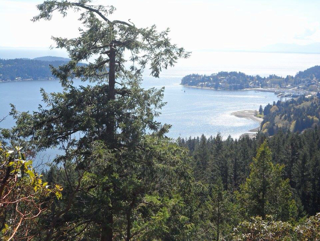
Length: 5 Km's Elevation: 250 meters Time: 2 Hours I did a great little hike beautiful views in Gibsons on the Sunshine Coast called Soames hill aka knob hill. Soames hill park has various trailheads of varying difficulty that lead to the 2 summits with gorgeous views. I took the more difficult trail from Soames road off marine drive. The trail is a steep 1 km of just under 500 stairs that meet up with the other trails on way up. At the end of the stairs are a signpost for the two summits. Both viewpoints has stunning sights of Keats island, bowen island and Vancouver Island all nestled into the Georgia straight. For safety reasons keep an eye on children and dogs at the viewpoints as there are sharp dropoffs. A fun short trail that I fully enjoyed. Directions: Courtesy of Trailpeak: From the Langdale ferry terminal, Chamberlin Road is 2km along North Road. Access to the park can also be gained from Marine Drive 1.1km from Langdale ferry terminal. There is a wide spot on the right for parking. You'll recognize Soames Hill from the Ferry as it is a well-rounded "hump" of a hill that is thickly wooded. |
Author.I work for Surrey School District as an Education Assistant. In my free time I enjoy hiking, snowshoeing, going off-road, dragon boating, writing & hanging with my huskies. Archives
March 2021
Categories |
 RSS Feed