|
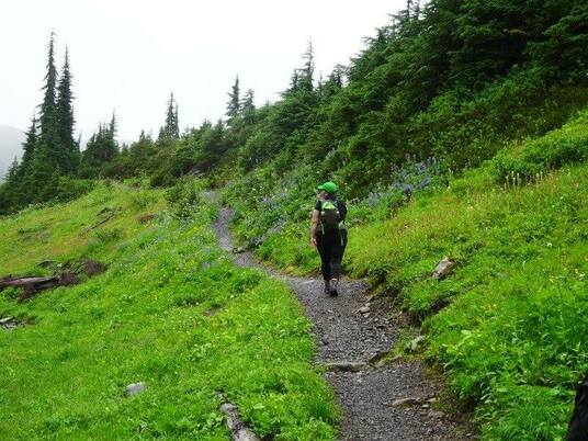
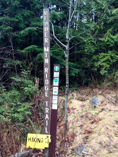
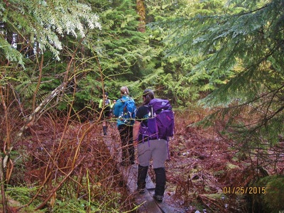
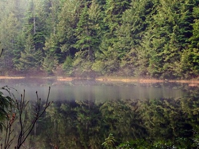
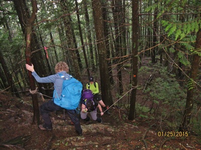
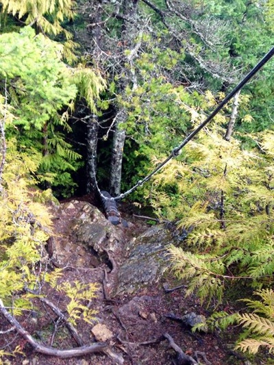
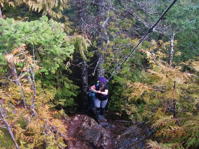
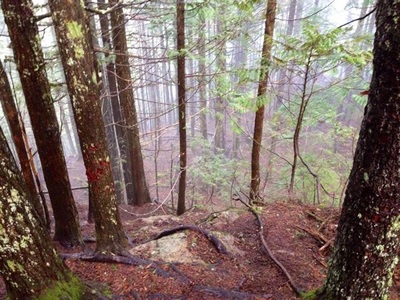
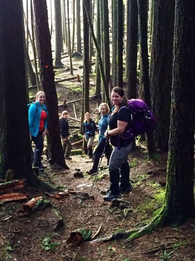
Before you can start this trail you’ll need to get to up the FSR. Yes it can be hiked but be prepared to add an extra 3 km’s one way. Directions: From Highway #1 take Exit #119 south. Follow Vedder Road for 5 km through Sardis, eventually reaching a three way stop sign immediately before the bridge. Continue straight over the bridge, soon after reaching a traffic light. Turn left at the lights, heading uphill on Cultus Lake Road. Continue for a little over 2 km before turning right onto Parmenter Road. On Parmenter Road, continue past the the gravel pit to the end of the pavement. Keep to the right as the road changes to gravel, continuing uphill for approximately 600 meters to the next fork in the road. If you have a car, park here. Put your vehicle into four wheel drive - the road from this point on is extremely rough. Expect 20 culverts to go up and over. Going back down seemed worse then coming up. Continue uphill for 2.9 km, watching for other off road vehicles and mountain bikes. A large yellow sign and wooden trailhead post on the right mark the start of the Vedder Ridge Trail. Trail Key: M~2~V~H~ST~RT~R~RA 2015~Start at trail and go right. Follow the quite steep rocky road for about 800 meters. At top of road go left and follow the Vedder Mountain Trail Sign. This takes you through the forest for a short time and back on the road for another 400 meters and a circular clearing where you can only go right. This is the proper start to the Vedder Mountain Ridge Trail. There’s a sign that says, Hiking Only. The trail is well marked with traditional orange squares and some km’s signs in trees. The first part of the trail is steep with a few permanent blow down trees. Don’t let this stop you from going. After this hill there’s rolling hills, another steep section and flat again. That’s what’s so welcoming about this trail. There are ups and downs the entire way. There’s a steep switchback and a hill right away. Then it’s flat and you’ll come to 2.5 Km's marker in the tree and soon after a beautiful lookout of Yarrow far below... Now the trail goes down a few steps and it snakes around by a marshy pond on your left. A wooden staircase takes you up and not far after to a clearing on your left. There’s no view but makes a perfect spot for a drink of water or light snack. A little hill and soon you’ll arrive out to an open rocky outcrop. Follow a skinny trail and mini log bridge down to the lake. Watch out for mesh on the first log...it's coming up on one end. Two more log bridges through a swampy area and then you skirt around and some more hills are there for a cardio burn. Not long after you come to a fork, turn left as you start your last climbs. Now you come to your first one of two rope assists. But first you have to cross another semi slippery bridge. There are some natural rocky steps for your first assist. Once up this part go around the corner and there are wooden steps with mesh and another rope to assist you getting up. Once here it’s just another small grunt to the false summit. Walk along an open trail and back into the woods which soon take you to another rocky outcrop which is your true summit. It’s a perfect spot for lunch and many photo ops. Scaredy Cat says you could loose one of your nine lives especially if it has just rained. Happy & safe hiking. Lori aka Scaredy Cat
1 Comment
Trail Key: M~2
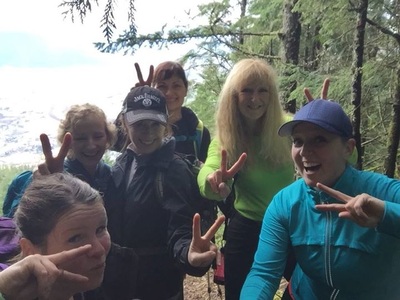
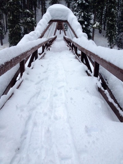
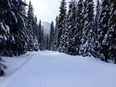
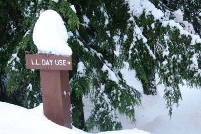
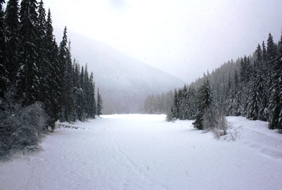
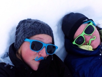
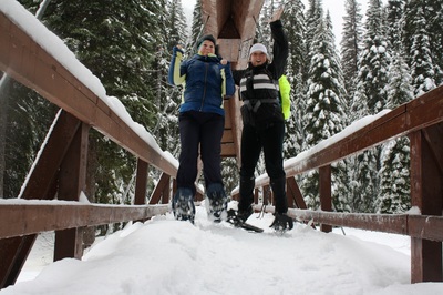
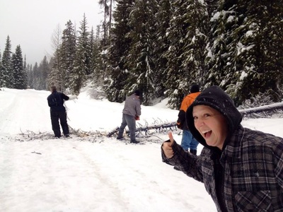
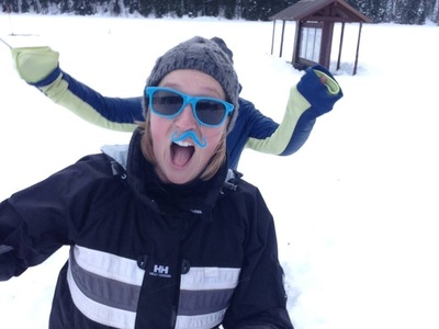
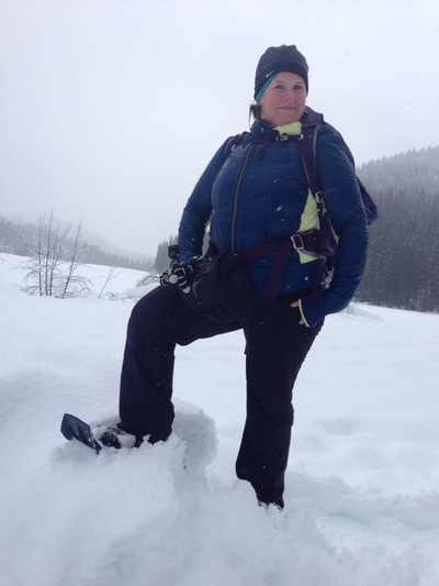
2015~Go past the Manning Park Lodge and turn right after the lodge. Follow the road and when you see a fork, stay left. Park at the parking lot. There are pit toilets here. Cross the dam bridge and you'll see, Frosty Mountain sign. Go right and follow the lower trail...save Frosty for a nice summer day or a fall hike to see the Golden Larches (see that hike under, My Hikes). This can be a loop trail that follows the lake along. You are in the trees. Soon you come to a bridge named, Rainbow Bridge. You can go across the bridge and go to your right to loop back to the parking lot. You can also carry on to the neighboring lakes, Strike and Thunder. However, this will make your SS a lot longer (14 km's). Today we were breaking trail so we decided to make it a shorter loop. That's the great thing about this as a SS...you can turn around at any point. The trail is easy to find in the summer but with fresh snow we lost the trail a few times and ended up on the cross country skiing road. They can be a little nasty so we quickly found the trail again and got off the road, LL Day Use (see picture). We followed this unbroken snow trail down a path and along the lake. Soon the parking lot was in our view. Today we did 10 km's with an elevation gain of 160 meters. Scaredy Cat says you won't loose any of your nine lives. Happy & safe snowshoeing. Lori aka Scaredy Cat The fun photos :) Trail Key: M~2~RT~CC~R~V~KF~DF~ST
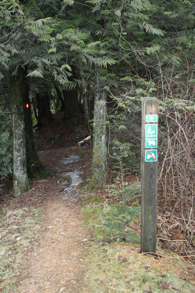
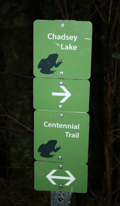
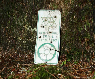
2015~There are many ways to go to Chadsey Lake. This was the way we went today. Drive to Harris and turn left at Bell and right at Fore and left at Beharell and right at Page Rd. Follow this dirt road a few km's up and you'll see the trail head on your left. The trail snakes its way up and down and across a couple of bridges and across some little creeks. Soon you come out onto a road, turn right and the trail picks up right away a few feet later, turn left and follow the trail as it snakes up . The trail comes to a fork stay left and continue following the little square orange markers. It's so pretty in this section. Keep going as the trail eventually is open on one side and soon it comes to a wooden step bridge with a pretty mini waterfall. Follow the steps up. It's a bit tricky finding your footing here but going back down was fine. You are back in the woods. The sweet aroma and the calming forest is your therapy for the next 20 minutes as you near Chadsey Lake. Have a peak and then follow the Centennial Trail to the Eastern Lookout. Here is a perfect spot for lunch. On a sunny dry day you can continue up to the peak. It is another two km's and this is the steepest part of the hike so best done on a dry day. I originally had this hike listed under My Scaredy Cat hikes. What I noticed today was it was a beautiful hike with two sections that weren't my favorite. I would go again for sure. Scaredy Cat says, you won't loose any of your nine lives. Happy & safe hiking! Trail Key: S~2~KF~V~ST~H~CC~PT
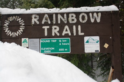
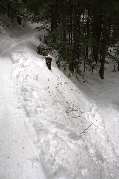
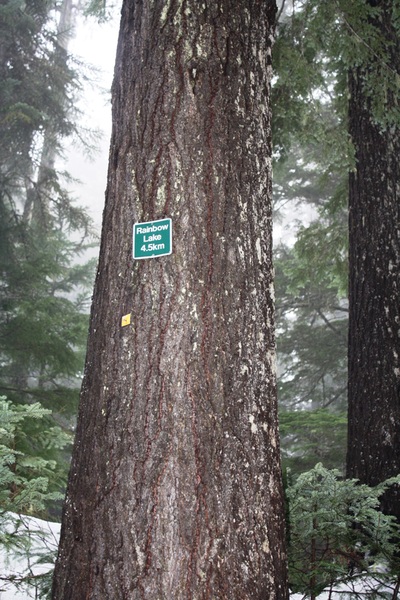
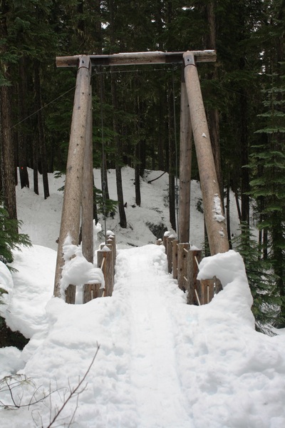
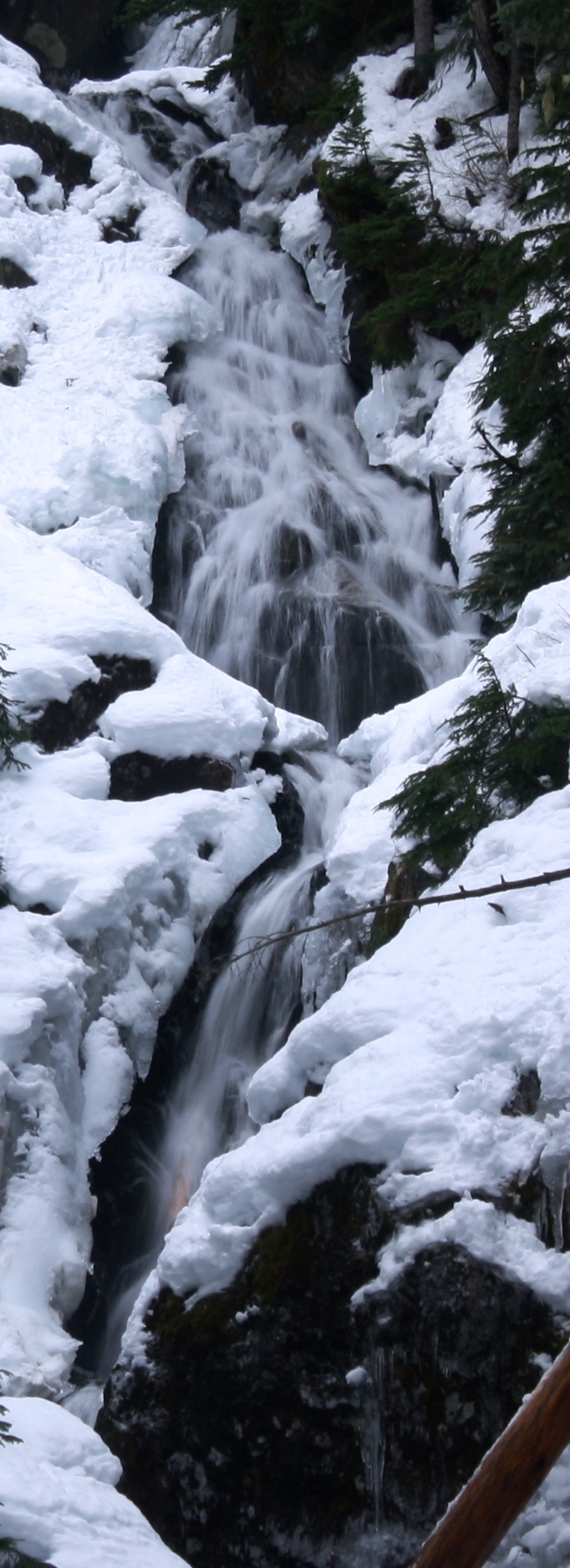
No dogs allowed. Dirctions: Drive toward Whistler to Alta Road, turn left. Follow the road for a quite a bit. You'll see the trail head on your right where there's parking. 2015~The trail starts going up right away winding its way along. A short switchback is next with the sounds of a rushing creek below. Soon the trail pops out onto the road and back in the forest.Twenty minutes into the trail is a branch to Rainbow Falls. It's a 5 minute walk to the falls. This short trip is worth it but a little tricky in the winter as the trail drops down and it's icy and slippery. However, they are pretty. Now you're going up for awhile with one switchback and then the trail snakes along. Soon you'll come to a one km sign board and road, go left. Then right up wide road where it's flat for awhile. You'll come to your first outhouse of three on left & a sign board, stay right at branch. Now you're going up wide road...hilly and flat at times. On a clear day views of Wedge and Whistler Mountain are there to greet you. Soon you'll see a sign and the trail starts to snake again. A little more up and you're into the forest on a wide trail. Back in the woods...you can hear the rushing creek. It's flat and peaceful. Many creek crossing on two step logs come one after another.. Some are skinny and tricky with snowshoes on. The trail now snakes and zig zags in new growth. High up in the trees is the first sign of how far you have left...4.5 Km's sign to go. Not long after, you arrive at the second pit toilet. Shortly after there is a beautiful wooden bridge to cross with a rushing stream far below. Another cascading waterfall lookout is not far after this. It is here we called it quits, figuring we had about an hour to Rainbow Lake. With limited daylight hours left and a good two hours back down we decided it is best to try this one again earlier or wait until summer when the snow has cleared.It took us a good 4 hours to get that far with plenty picture, snack and water breaks. Scaredy Cat says you won't loose any of your nine lives. Happy & safe snowshoeing. Lori aka Scaredy Cat Trail key: M~2~ST~V~H~FT~KF~DF
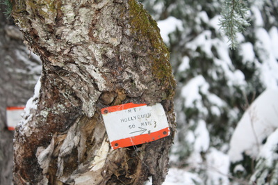
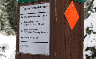
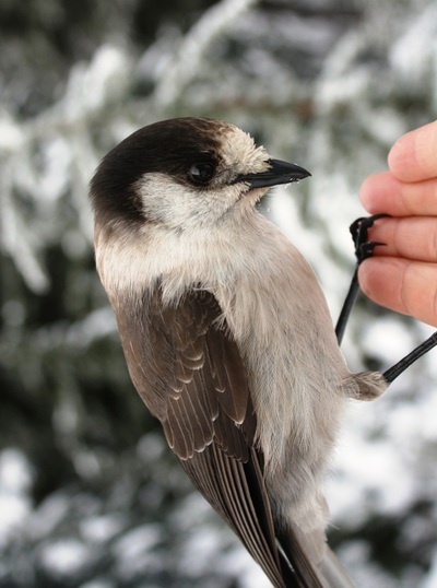
2015~Drive to top of Cypress Mountain and turn right at the fork in the road. Go to the sign board and find parking where you can. This SS is a BC Park's maintained trail so it is free. At the trail head it says, 5 km's but it is in fact 8 km's and about 450 meters elevation gain. There's a flush toilet just past the signboard. Once at the signboard, start left up the wide road like trail. Your elevation begins right away as the trail winds and curves into a switchback. For a few minutes it is flat and then drops down a steep hill where it is flat for a short time. Here you see the ski run on your right, keep going as it is hilly. A pond appears on your right and then another short hill and right after a steep hill. It is flat and windy trail for awhile and soon a sign post appears on your right. Here it says you have 1.8 km's to go or 50 minutes to Hollyburn Peak. You have gone 2.2 km's, according to the sign. It is here that you see what lies ahead as Whiskey Jacks swoop down to greet you. If you put nuts and seeds in your hand they'll land and eat from your palm. Now you must decide as there is newly formed trails everywhere...You can tackle the next few sections through the woods where the grade is gentle or you can go straight up hill. You will have about 4 of these steep hills to climb, the last two being the steepest. Just as you are nearing the top the last grunt is the steepest of all but the shortest...once past this you have made your goal to Hollyburn Peak. Hopefully you timed it on a clear day where mountain tops greet you from every direction and more Whiskey Jacks try to share your lunch. Once you have filled your camera and had some nourishments you can head down through the forest or straight down the steep hills. The first two are the worst and after it's not so bad. Poles and MICROspikes are handy for some parts of this trail. If there's enough snow you might be able to do some bottom sliding, just make sure no one is coming up. Scaredy Cat says, you won't loose any of your nine lives. Happy & safe snowshoeing. Lori aka Scaredy Cat |
Author.I work for Surrey School District as an Education Assistant. In my free time I enjoy hiking, snowshoeing, going off-road, dragon boating, writing & hanging with my huskies. Archives
March 2021
Categories |


 RSS Feed