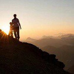
 "Lover of life. Seeker of adventure. Appreciator of all things beautiful." Emily Sayward Emily Sayward is a single working mom. When not working you'll find her outdoors spending quality time with her son soaking in the beauty that nature offers. Look for future guest blog posts from Emily... ROAD/DIRECTIONS:
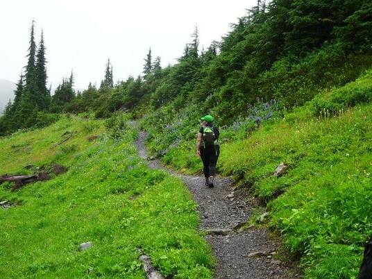
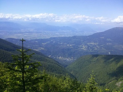
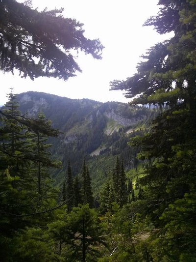
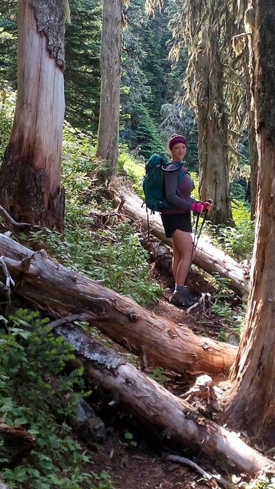
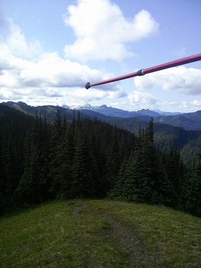
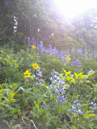
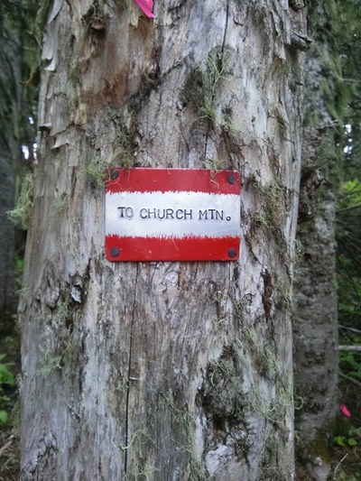
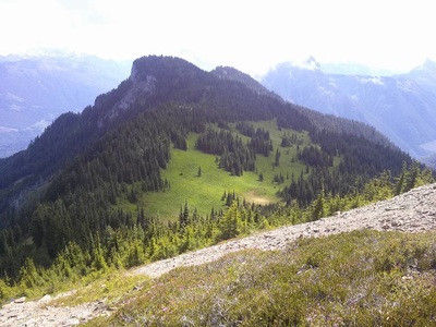
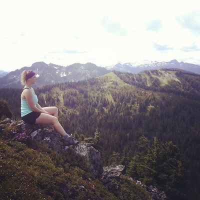
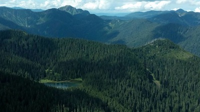
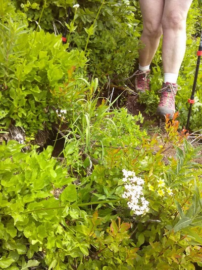
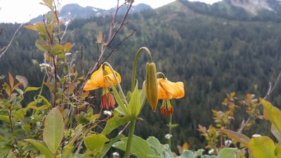
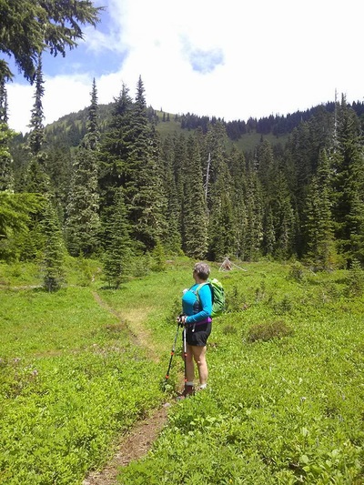
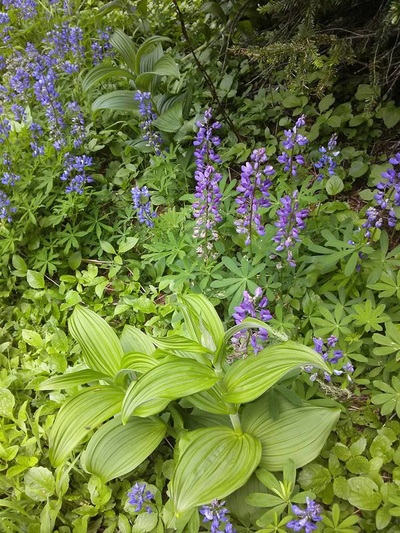
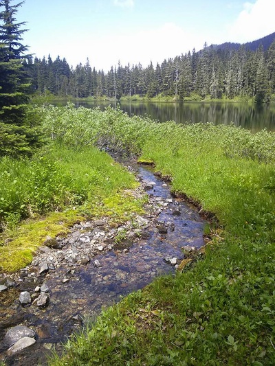
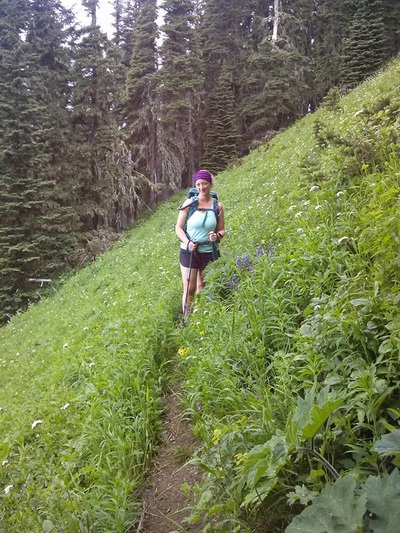
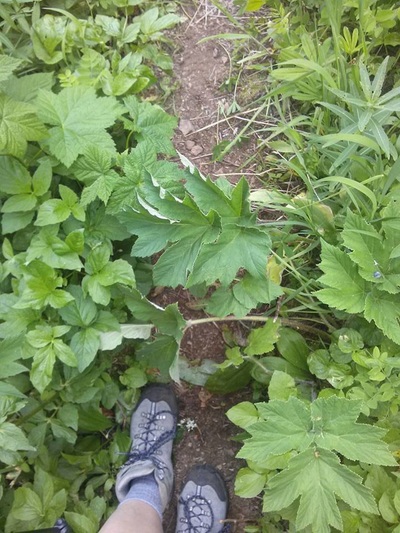
From Chilliwack, drive towards Cultus Lake. Drive through the town, and then turn left on Sleepy Hollow Road. Set your odometer to 0 here. Sleepy Hollow Road turns into Vance Road and then into the Chilliwack-Liumchen West forest service road at .9 km. Keep left at 4.4 km when the Chilliwack-Liumchen West FSR veers off to the right. AT 5.8 km, keep right and climb for 7.5 km. You'll have to leave your car here, or if you have a 4x4, take the right branch here and climb the last 1.9 km to an elevation of 1440 meters at the trailhead. A friend had told me ahead of time that you need a 4x4 to get to the TH. While we were driving I kept thinking that was silly – my little Corolla could make it no problem! BUT, I now see what she meant. The last 9 km are rough. Clearance is needed without a doubt as there are deep potholes and large rocks scattered throughout the trail. The road winds up and the higher it goes, the steeper it gets. An AWD may get you there, but even at that I’d be hesitant. Take a 4x4 if you can. You won’t regret it! The road is very narrow in places with room enough for only one vehicle. Remember that this is a heavily used ATV area so take the corners slowly and we honked as we were approaching to be extra safe smile emoticon TRAIL: At the end of the FSR there is a parking lot where you will find the trailhead. The first 1.5 km (45 min approx.) of this trail climbs pretty steeply. There are some beautiful views of the Chilliwack valley and range just before you head into the forest. The trail then heads into the trees and you follow switch backs up to the top of the ridge, bringing you to a lovely lookout on the first bump of the ridge called "Windy Knob" (WK) at which you will be rewarded with a breathtaking view of Mount Baker and the surrounding ranges. From this lookout, the trail descends and leads you below the ridge (and then drops a couple hundred metres to Liumchen Lake itself if that’s where you’re headed) Allow another 1.25 hours to the lake from this point. The trail is very easy to follow but very narrow. Though it’s not difficult in terms of incline, the trail you’ll take down into the lake valley is never more than 2 feet wide. More often it’s just wide enough to get one foot in front of the other. In addition, there is significant foliage pouring over the trail which is sharp and scattered with giant hogweed and thistle, so pants or gaiters are very recommended. The trail is loose and for some of the time has a steep drop on the outside edge. Balance and sure footing is a must. Take it slow. Don’t let kids run too far ahead. What we decided to do was follow the trail past Windy Knob and take a turnoff at the split (about 20 minutes from WK) marked “Church Mt.”. If you plan on taking this route, keep your eyes open. The marker is on a tree and is only about 4 inches wide so it’s easy to walk right past it! We followed this trail as it skirted around the base of and unnamed ridge and ascended to a beautiful exposed peak called Old Baldy. This peak is north of Mt. Liumchen, north east of Liumchen Lake, and west of Church Mt. We hung out on the peak for awhile, taking in the views. It’s a great place to stop for lunch (and set up a camp if you want to stay over). From Old Baldy, we descended south west over the side. There was no trail so we made our own switchbacks. This was very rough terrain: I would estimate a minimum 45% grade (steeper near the peak, gradually leveling out near the base), the brush/foliage was tall (almost to waist) and was stiff and scratchy on exposed legs and arms, the ground was loose and full of marmot holes, and it was all scattered with hog weed and thistle. It took over 45 minutes to descend to the bottom of the peak and we were stiff, scratched and sore by the end of that section! At this point we worked our way north down mid-grade switchbacks and through large meadows to eventually join the trail to the lake. We hiked the slowly descending trail to the lake. Surprisingly we were all a bit unimpressed with the lake. Though it gets great reviews, I found there was no shore to sit on and the ground was wet and boggy. The water was brownish and definitely not tempting me to jump in. The mosquitoes were bad, and we had just come across 6 large fresh piles of bear scat, so we were anxious to see the lake and then get the heck out of there smile emoticon From the lake back to the trail head was about 2.5 hours with a slight but steady incline up to Windy Knob and then back down the switchbacks to the TH. ADVANTAGES: The highlight for me for this trip was the wildflowers. They are in full bloom right now! Lilies, Columbine, Daisies, Lupines, Fire weed and more! The wide expanse and views were breath-taking. It’s neat to be on top and look around at other peaks knowing I’ve been on the tops of many others. They look so different from that perspective. This range offers such diversity: the trail is steep, then flat, wide(ish), then narrow, switchbacks, then wide open meadows, etc. I also liked that in over 7 hours of hiking we only ran into one family. That quiet and peacefulness is something you won’t find on Elk or Cheam this time of year! STATS: If you chose to hike straight to the Lake, allot about 6 hours for your 10km return trip. It is rated at a 3% grade (the first section is very steep but there are also large sections of flat walking so overall it’s not a steadily steep hike) I have researched extensively and cannot find stats for the Old Baldy, Mt. Liumchen range route that we took. I would estimate 14 km from the TH to peak, to lake, finally back to TH with a higher percentage grade of incline. But again, it’s not all uphill - It’s up and down the entire time. RECOMMENDATIONS: - I didn’t particularly like the route we chose doing both the peak and the lake. I would recommend one or the other. If doing the peak, take more time and explore Church or further on to Liumchen Mt. (As far as I understand, there is no established trail to Liumchen Mt. peak, but not to say it’s can’t be done) - Though I haven’t seen it myself, I hear it’s beautiful in the fall/spring with snow, though can be very windy and cold. - This area is known for bears. Make sure you take appropriate precautions. I will definitely do this hike again but next time will explore Church or continue on to Liumchen Mt. - I found that the temperature changed a lot. I have never changed more often during a hike – from tank to sweater to down jacket back to tank, etc. Make sure you bring several layers! Any other questions? You are welcome to email Emily at [email protected] and you can follow her on other adventures here: https://instagram.com/emily_sayward/
0 Comments
Leave a Reply. |
Author.I work for Surrey School District as an Education Assistant. In my free time I enjoy hiking, snowshoeing, going off-road, dragon boating, writing & hanging with my huskies. Archives
March 2021
Categories |
 RSS Feed