|
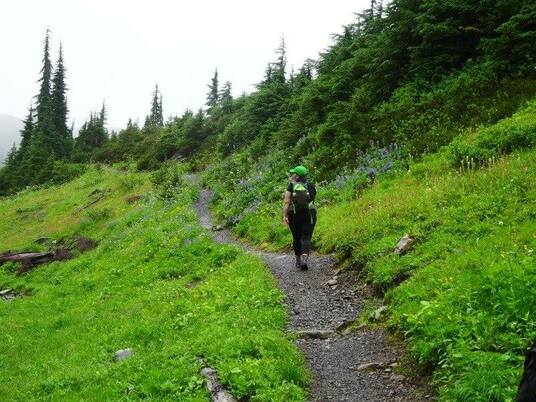
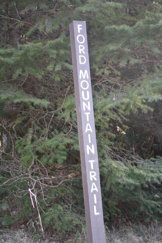
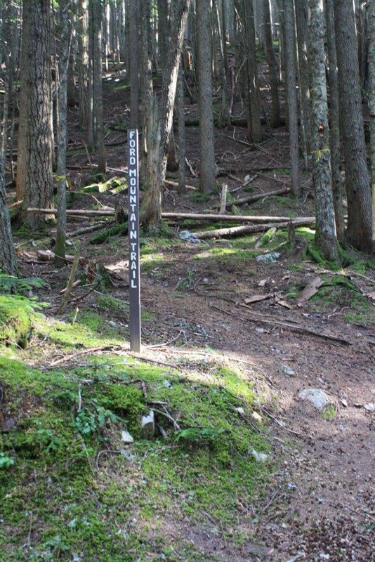
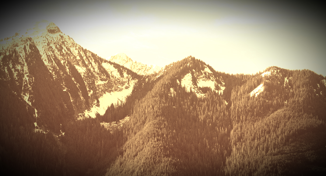
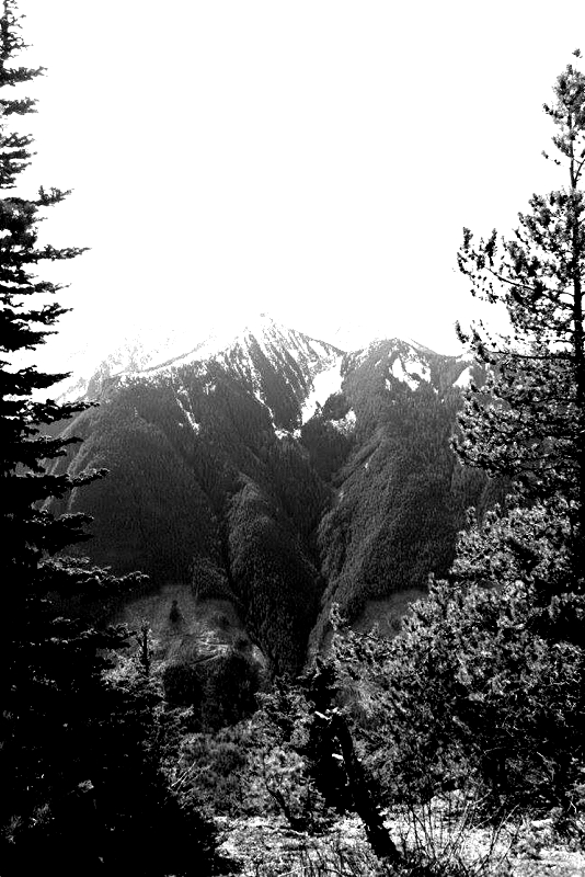
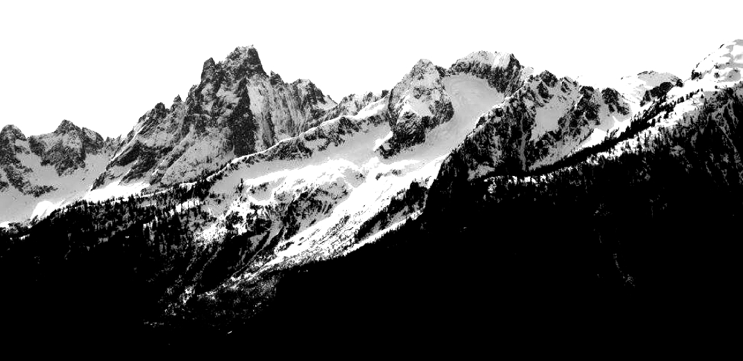
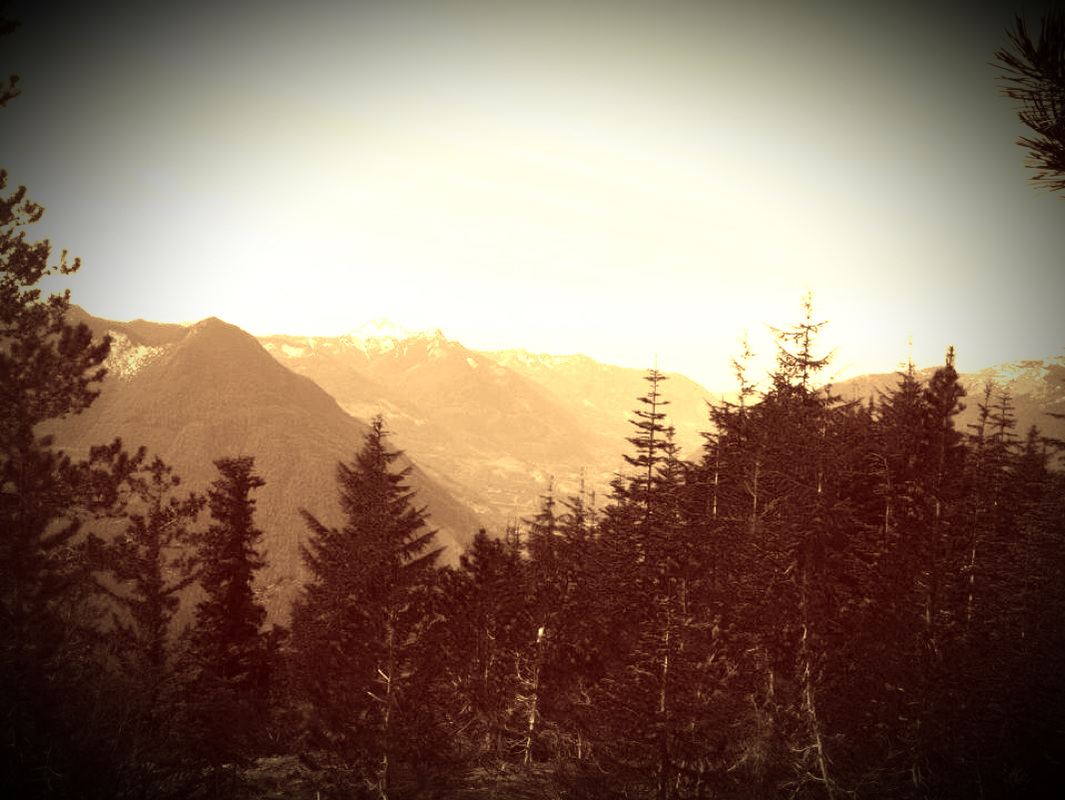
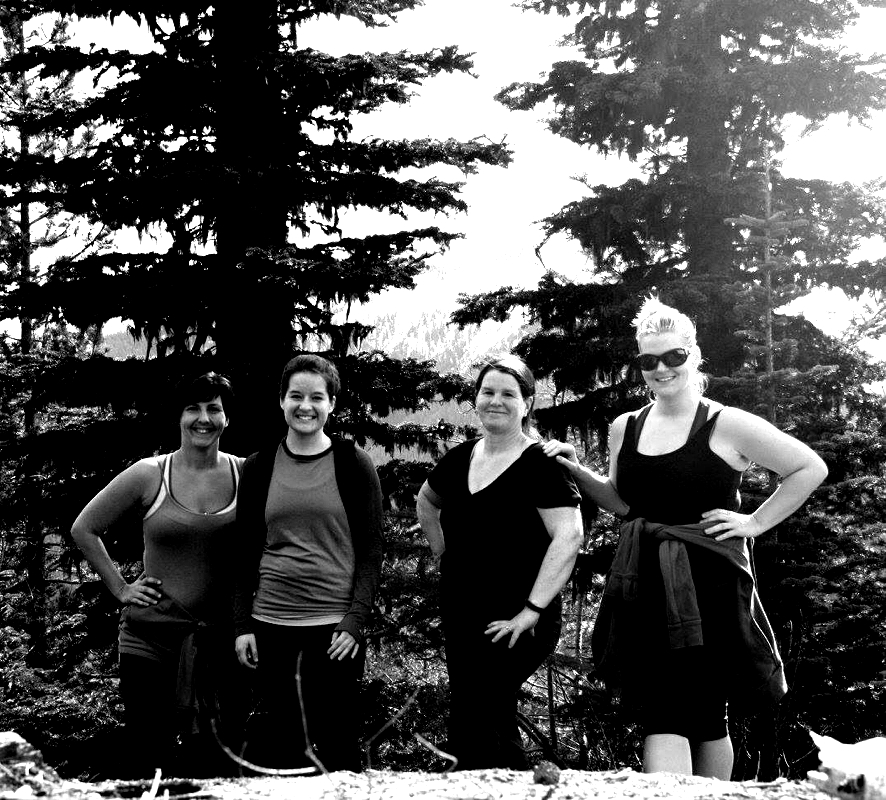
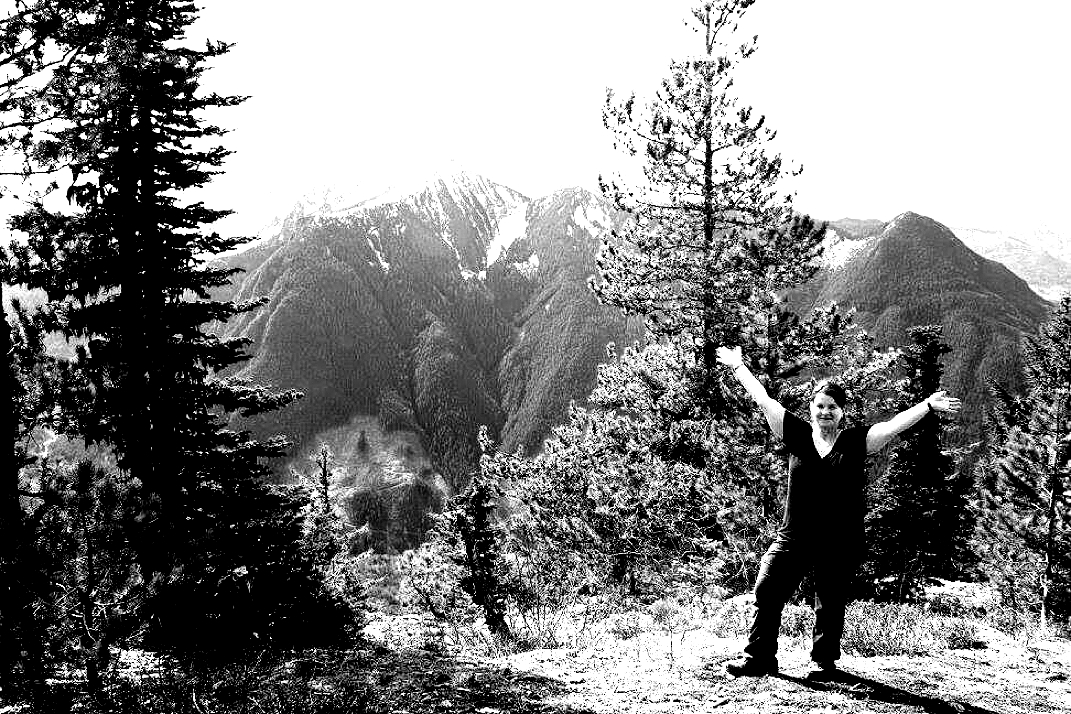
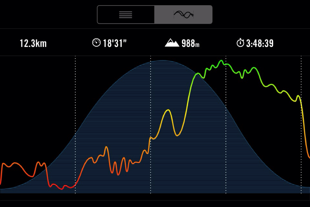
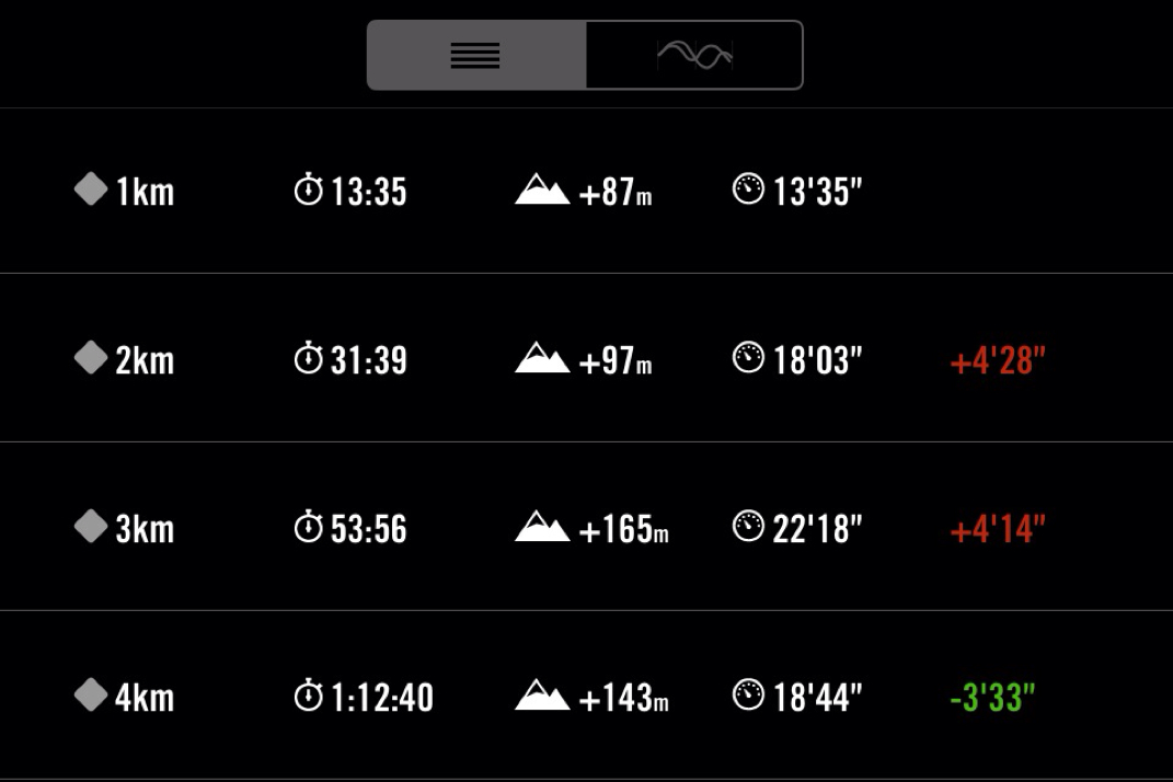
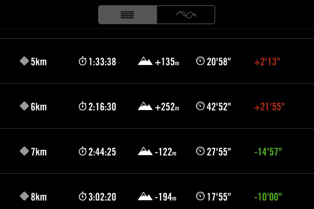
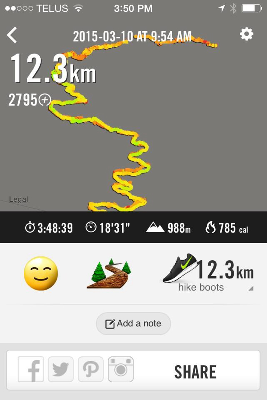
Trail Key: M~2~DF~KF~ST~H~V~R~SW No pit toilets 988 meters/12 Km's 2015~You can park your car right off the road and walk the 4 Km's up the FSR but it's quite the trudge or you can drive a bit farther depending on the type of car you have. The roads are not as bad as Mt. Cheam. A 4x4 would be handy however, the walk is pretty with views almost right away. I'll report the way we went...We walked from the roadside. Follow logging road up. There are two branches...the first one we stayed right and the second we stayed left. There is painted rocks as you go indicating your distance. You are going up this road for 4 Km's. It's steep at times but the road is in good condition for a FSR. Soon the actual trail proper is on your left with a sign post. Follow the wide dirt path. Not long after there's another TH sign on your left. Have a stretch and a small snack as this is where the real work begins. The trail now switchbacks up the mountain, each SB steeper than the last. There's trees and rocks along the way to help your footing and balance. You'll see a .5 km wooded painted sign, it's steeper here but keep going. It's worth it and you don't have far now. Take a breather and continue along the ridge where you'll see a peak of the views of what's to come. It goes back in the forest. It's hilly in some parts but the grade is a lot easier, you have done the hard work. It's quite beautiful in here. Almost like an enchanted forest. Nailed in the tree, is a proper sign that says, 1.5 Km's. It's here where you have just a few meters left. The path gets skinny and you'll come out onto an open beautiful spot where to the south: Sleese (sadly, in 1956, a winter storm caused a DC-3 to crash killing all 62 passengers) & to the north: The Cheam range, Foley and Welch are all there to greet you. They are spectacular, proud of their beauty! Happy to share it with you. Once you've stretched, filled your belly and recorded these memories in your camera return the way you came carefully navigating some of the steeper switchbacks on the way down. As a footnote you can carry on from the summit to Williams Ridge. I haven't done this yet but hope to complete it this coming year. Scaredy Cat says it's un-likely you'll loose any of your nine lives. Take it easy at the summit & coming down the switchbacks. Happy & safe hiking. Directions: Drive Hwy One to Chilliwack. Follow signs to Chilliwack Lake Provincial Park. At the Chilliwack River Bridge turn left and follow the river east for about 28.5 kilometres and turn left on the Ford Mountain Forest Service Road. This is just past the 'Ford Mountain Correctional Institution.' Then you'll cross the Chilliwack river one more time and look for the FSR on the left. (Courtesy of Trailpeak) GPS waypoints courtesy: Clubtread Start of trail N49.10879 W121.60584 10U 601749 5440485 Parking N49.10535 W121.60367 10U 601914 5440106 Below rock bluff N49.10928 W121.60291 10U 601962 5440544 Top of rock bluff N49.10930 W121.60126 10U 602082 5440548 Ridge viewpoint N49.10997 W121.59870 10U 602267 5440626 Summit N49.10968 W121.58810 10U 603042 5440608
2 Comments
Krista
5/6/2016 08:46:37 pm
Awesome. Going to do this tomorrow :)
Reply
5/11/2017 01:30:16 pm
I worked on this trail for the Chilliwack SAR back in 1978.The look-out tower was still there. Great views.
Reply
Leave a Reply. |
Author.I work for Surrey School District as an Education Assistant. In my free time I enjoy hiking, snowshoeing, going off-road, dragon boating, writing & hanging with my huskies. Archives
March 2021
Categories |


 RSS Feed