|
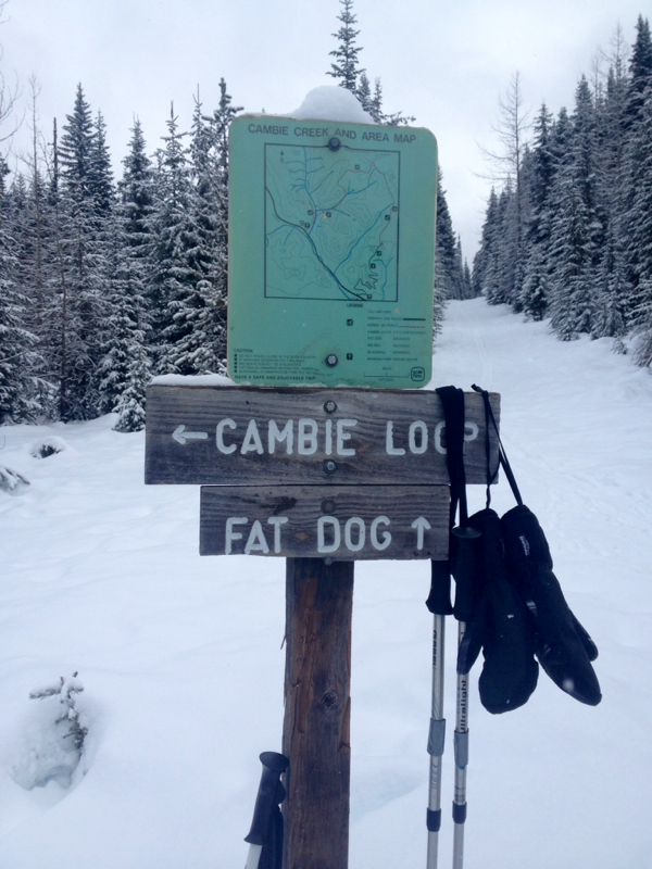
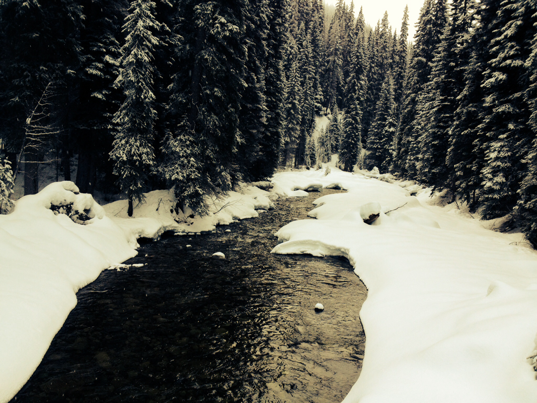
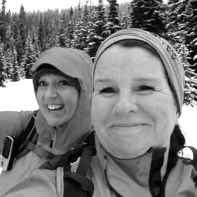
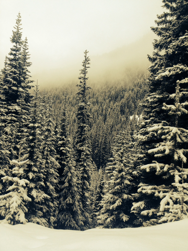
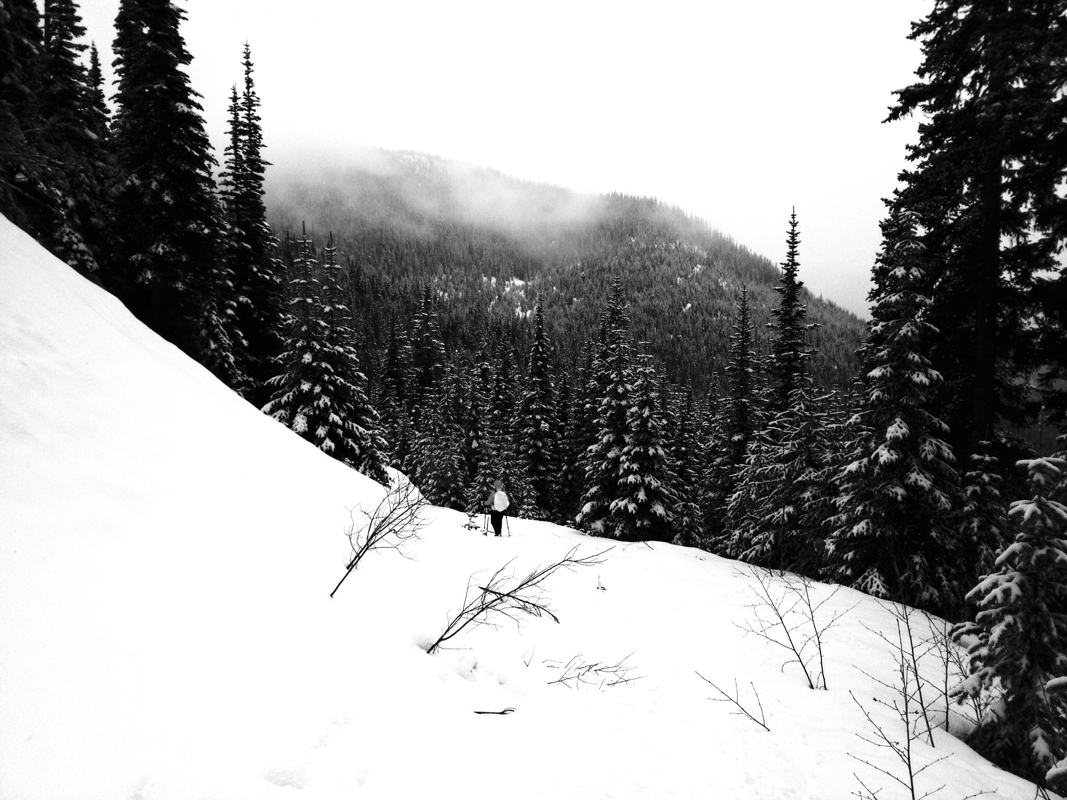
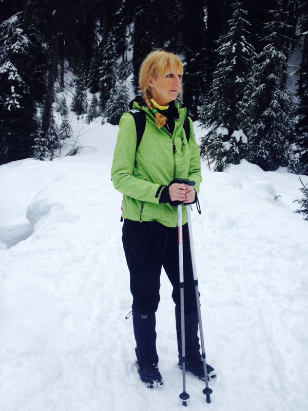
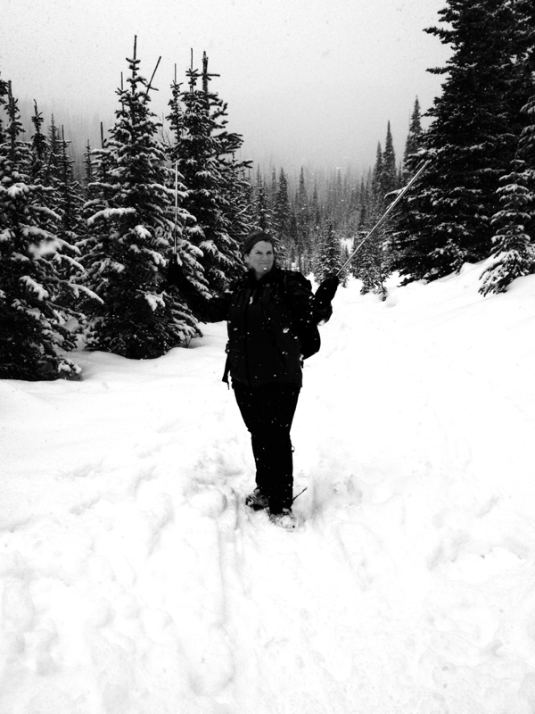
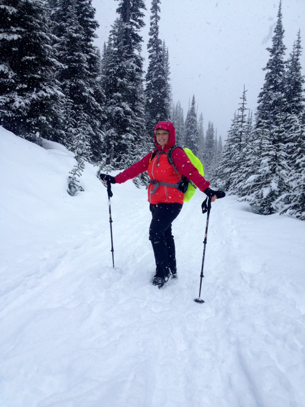
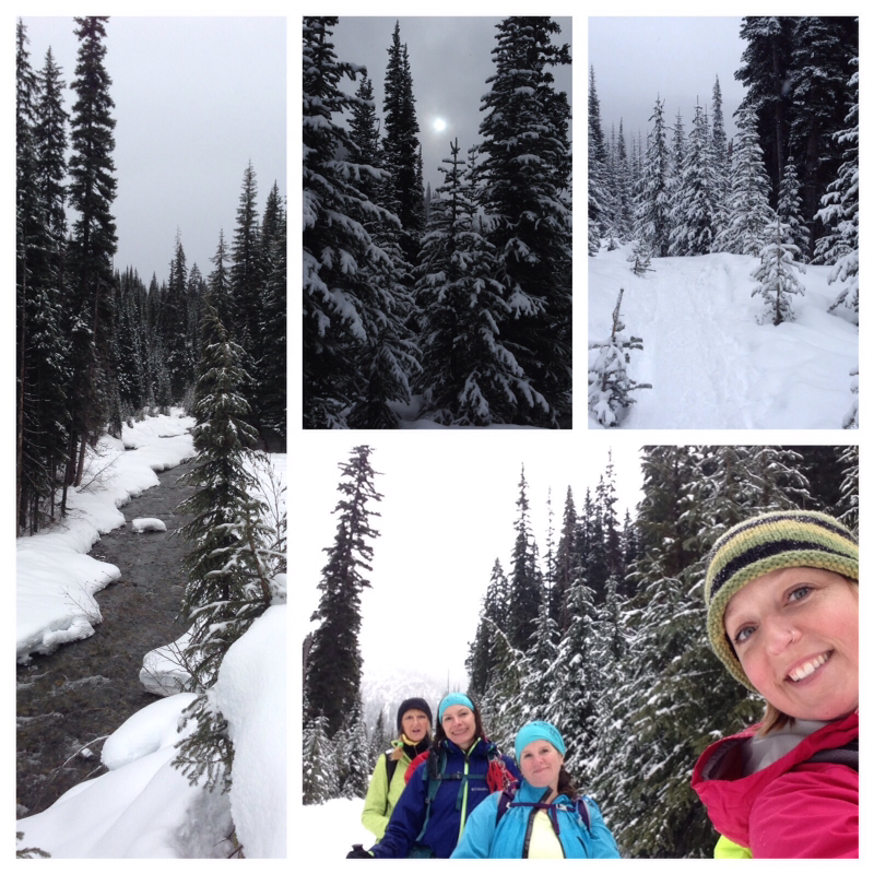
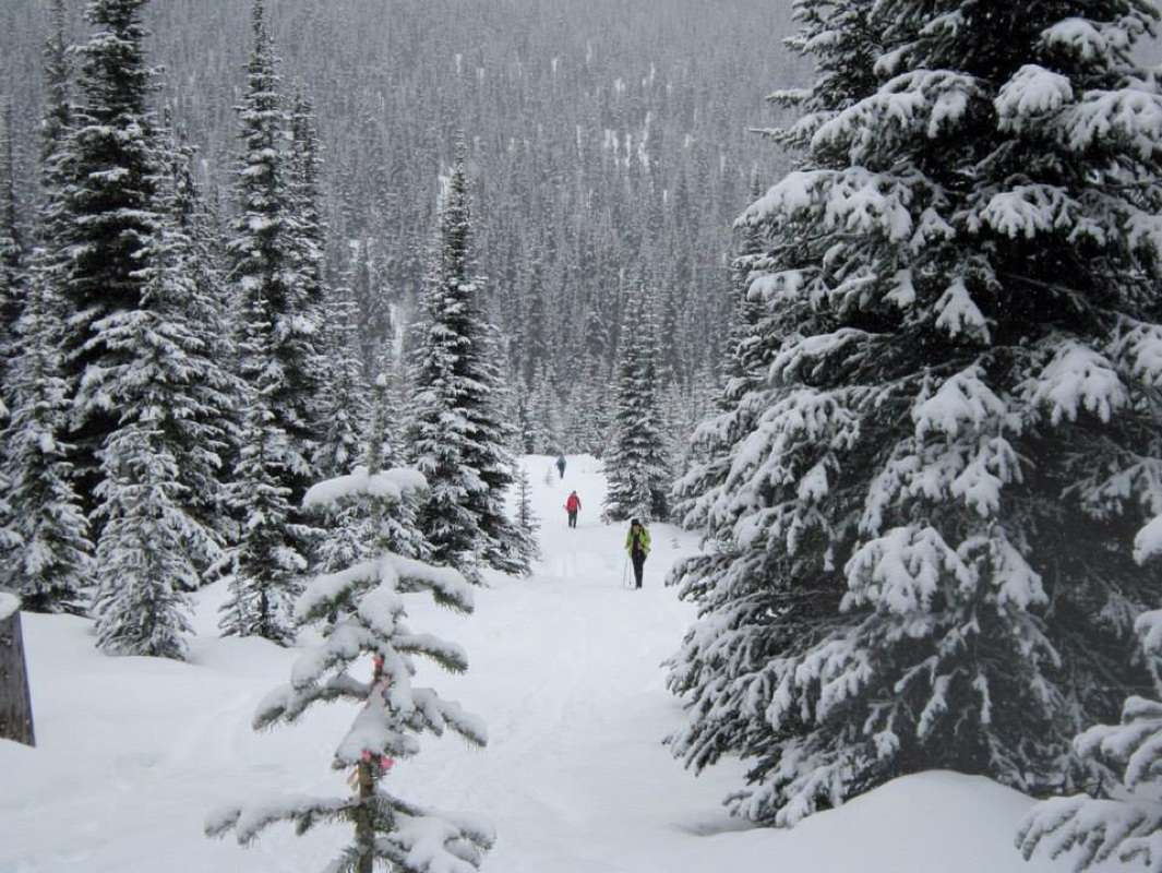
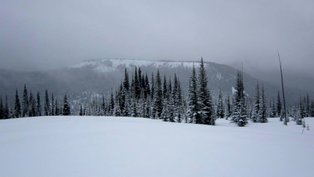
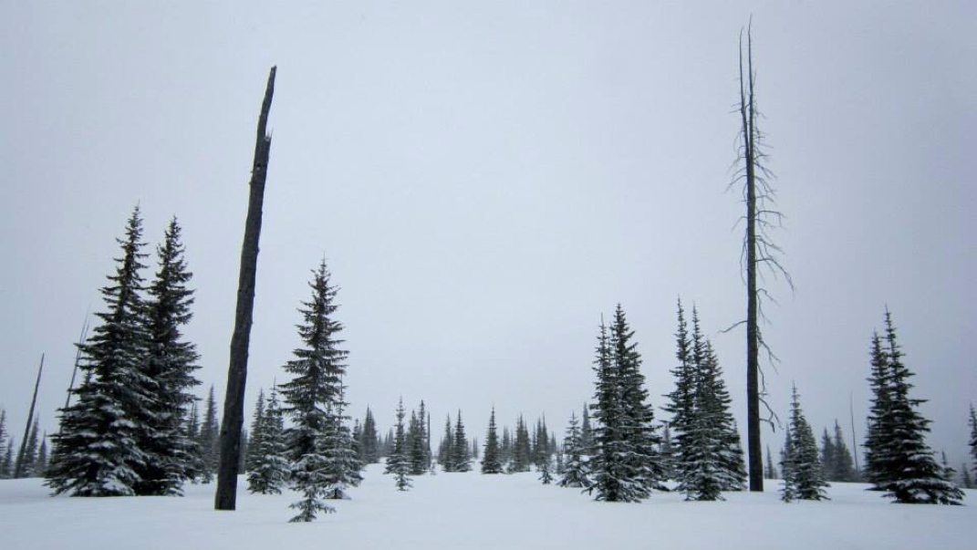
Fat Dog & Cambie Creek-700 meters & 15 Km's (Winter route only...closed in the summer months) Directions: drive on Highway 1 to Manning Park. Fat Dog is east of Allison Pass. If you get to Manning Park Lodge, you've gone too far. The parking lot is on the left side. There's a pit toilet here and a big parking lot. There is a loop along the route, this is Cambie Creek. We didn't try this but walked past it. It seemed un-touched and said closed. We followed the Fat Dog trail sign post. Trail Key: M~2~KF~DF~ST~H~V~PT 2015~Start at the sign post and follow the trail along the snow covered trees and long flat path. Go right at fork, with the sounds of a rushing creek on your right side. Cross a bridge with the cascading river now under you. Keep going, now the switches to your left side. The sound is a blessing to your ears. Follow the 5 Km's sign post to the right. It gets a little hilly now as you leave the trickling sounds of rushing water. Next sign post says left Cambie Creek and right Fat Dog...go right. There are no more sign posts after this one but the trail is easy to follow. First steep up hill grunt but it's short. A short flat spot and downhill as the trail winds around. Little hill then a short flat spot and cross over a small creek. Then another uphill grunt that goes on forever then it finally flattens out. Then you come to a short grunt up. Then it is flat again for sometime. The last few Km's climb uphill gradually as the trees get thinner and thinner. Soon you are in an open area and on a clear day you'll see Three Brothers, The North Cascades and Frosty Mountain. There is nothing scary about this winter trail. It has many beautiful views. Scaredy Cat says you won't loose any of your nine lives on this in-out trail. Happy & safe SS'ing. Lori aka Scaredy Cat GPS Waypoints: Trailhead N49.11133 W120.84325 10U 657393 5442072 Cambie Loop Trail forks N49.11233 W120.83903 10U 657698 5442192 Bridge N49.11596 W120.83452 10U 658015 5442605 Inner Cambie Loop junction N49.11811 W120.83235 10U 658167 5442848 Outer Cambie Loop / Fat Dog junction N49.12176 W120.82866 10U 658424 5443262
3 Comments
Audrey
1/12/2016 12:08:45 pm
Wondering if you can reccomend a moderate trail similar to Dog Mountain on Seymour....we've also done Lightening Lake loop and loved it. Looking for something about 2 to 4 hours roundtrip, not a grind. snowshoeing. We live in Abbotsford so something about 1 to 11/2 hours drive max.
Reply
12/24/2017 05:38:14 am
This is for both rescue dogs that are anxious or dogs that are already calm, but have not had a lot of off lead exposure.
Reply
Lori Roberts
12/24/2017 02:41:44 pm
HI There,
Reply
Leave a Reply. |
Author.I work for Surrey School District as an Education Assistant. In my free time I enjoy hiking, snowshoeing, going off-road, dragon boating, writing & hanging with my huskies. Archives
March 2021
Categories |

 RSS Feed